Montana State Legislature
2001-2002 Proposed Regional Plans: Maps and Plan Overviews
Proposals for Senate Districts
Considered on December 6, 2003.
- Staff Analysis Proposed Options for Pairing of House Districts into Senate Districts and for the Assignment of Holdover Senators
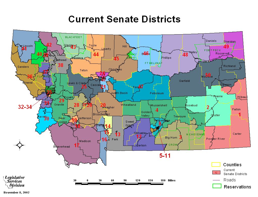
- Map: Current Senate Districts
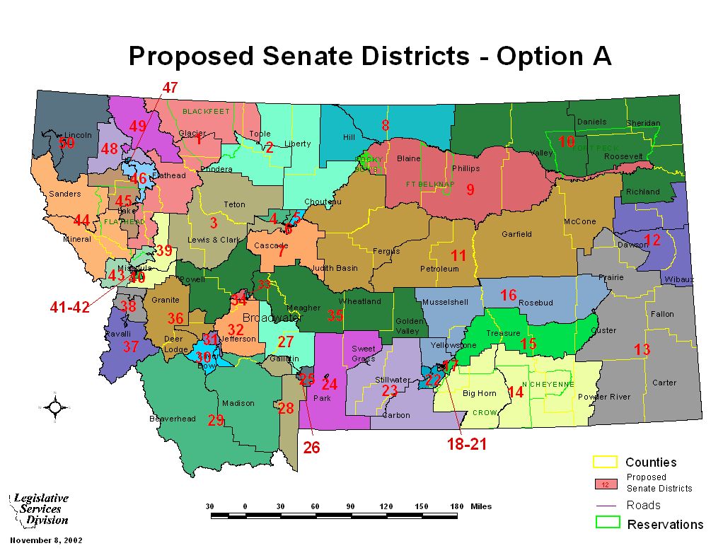
- Map: Option A (Rice/Lamson)
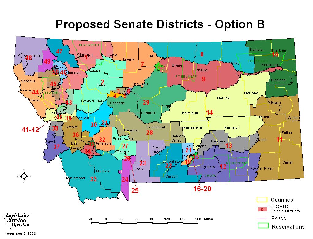
- Map: Option B
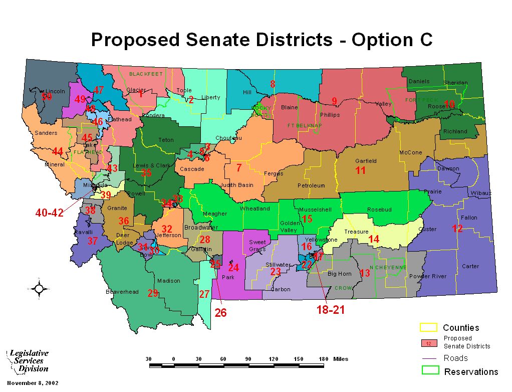
- Map: Option C
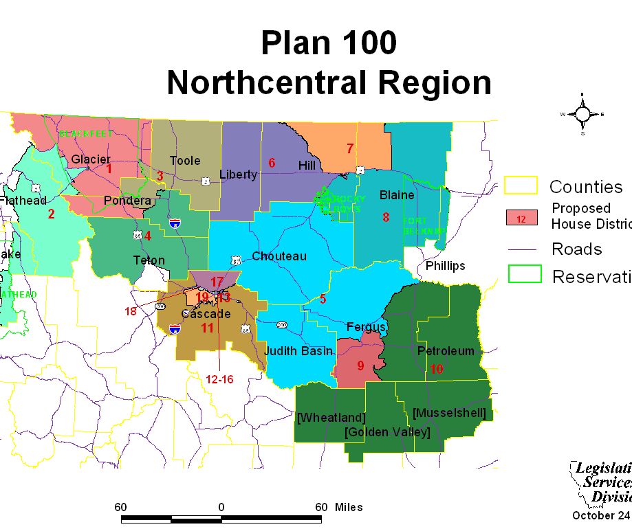
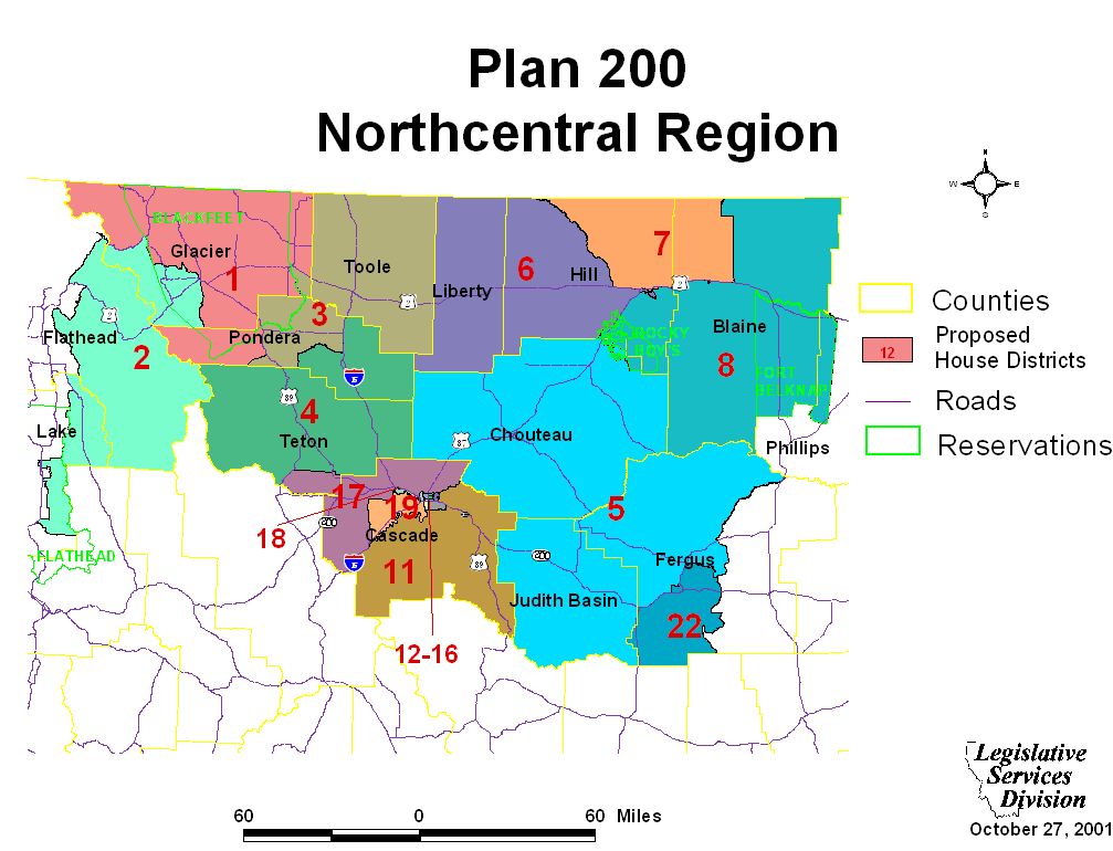
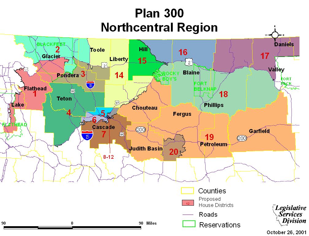
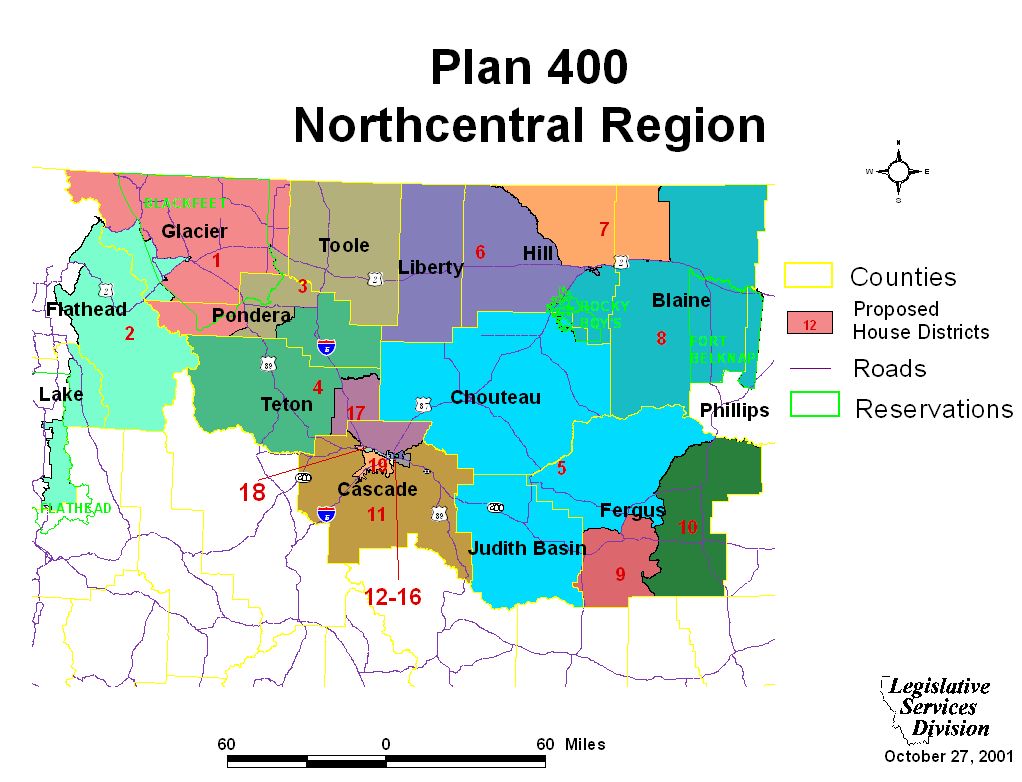
Northcentral Regional Maps and Plan Overview
Northcentral Region Maps
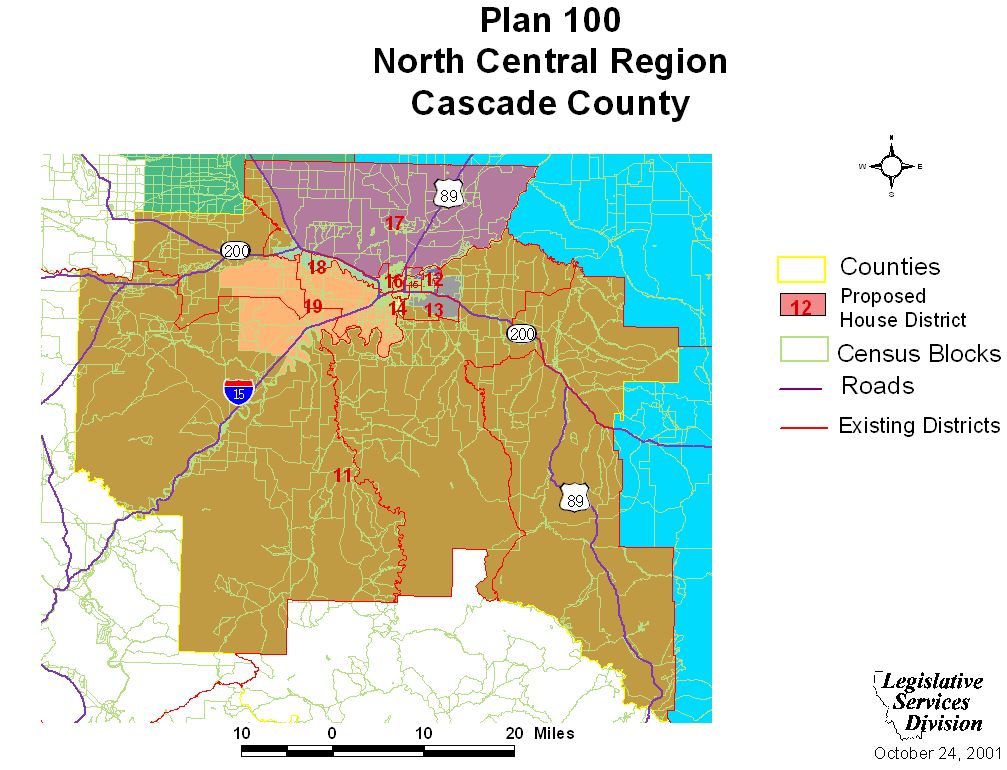
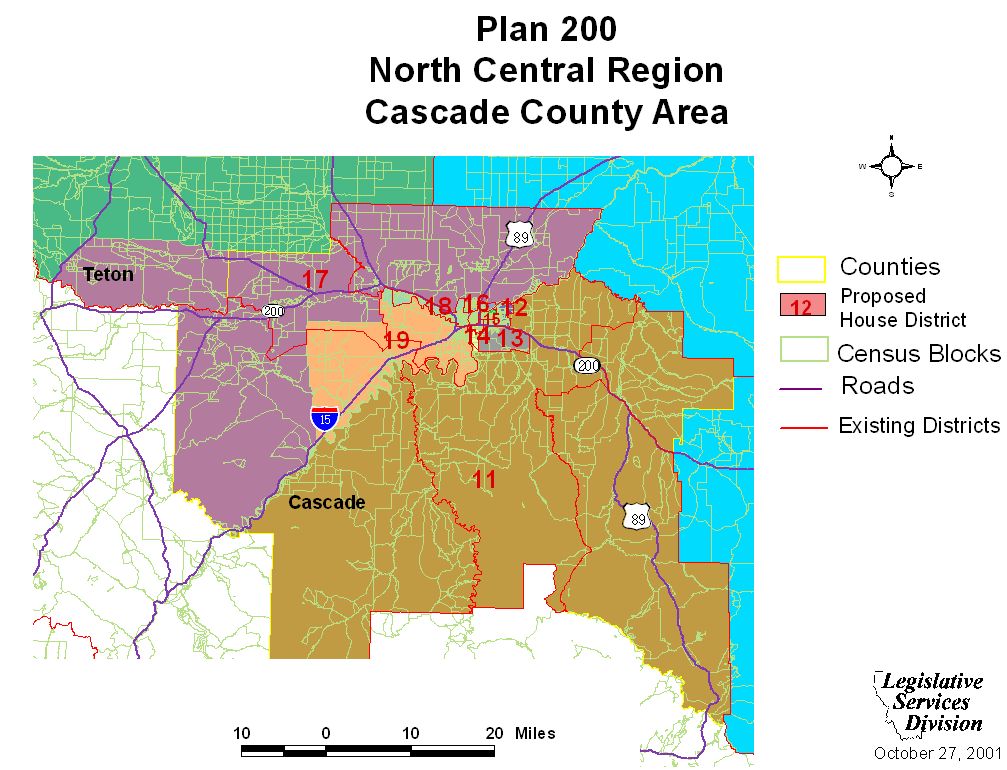
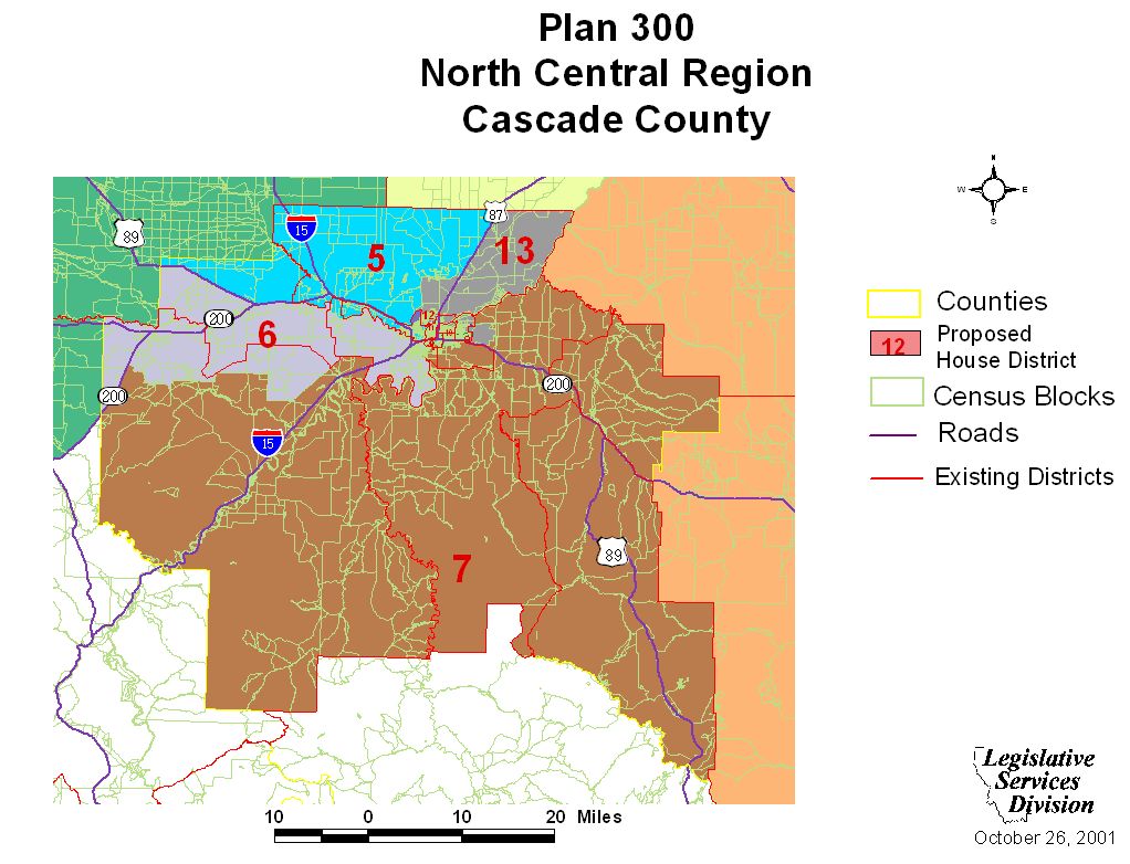
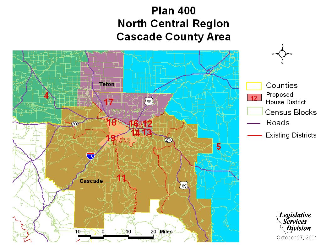
Cascade County Maps
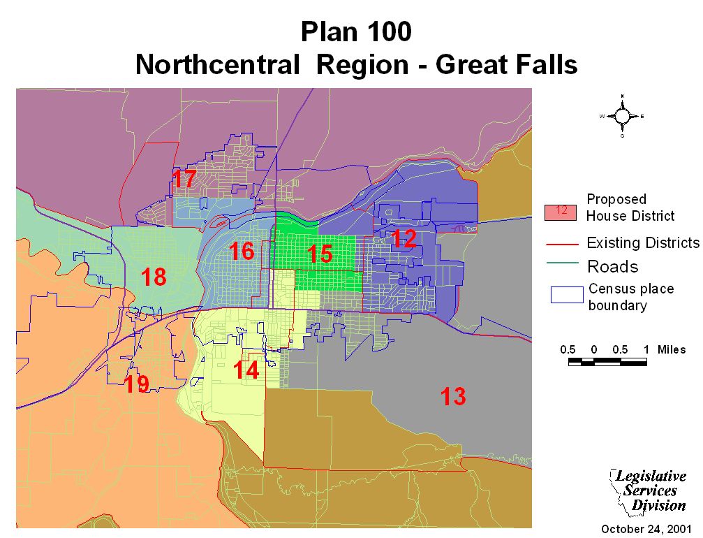
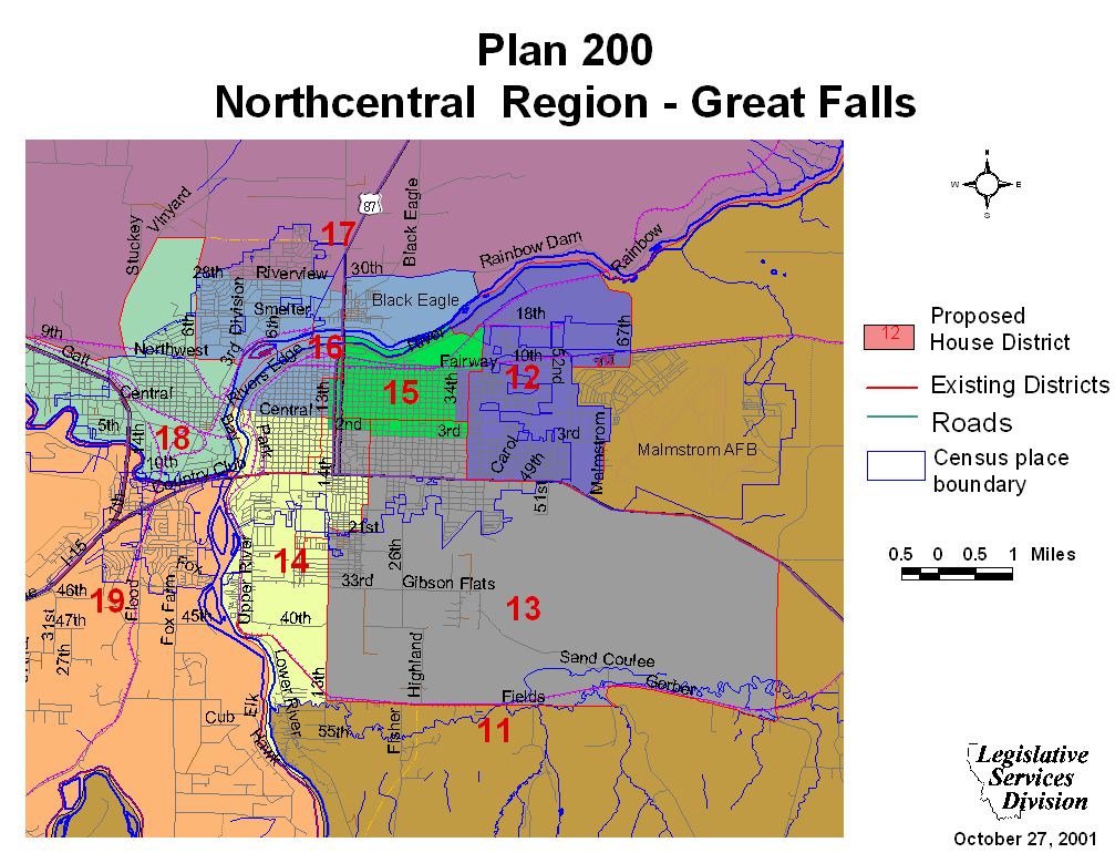
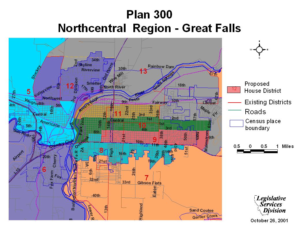
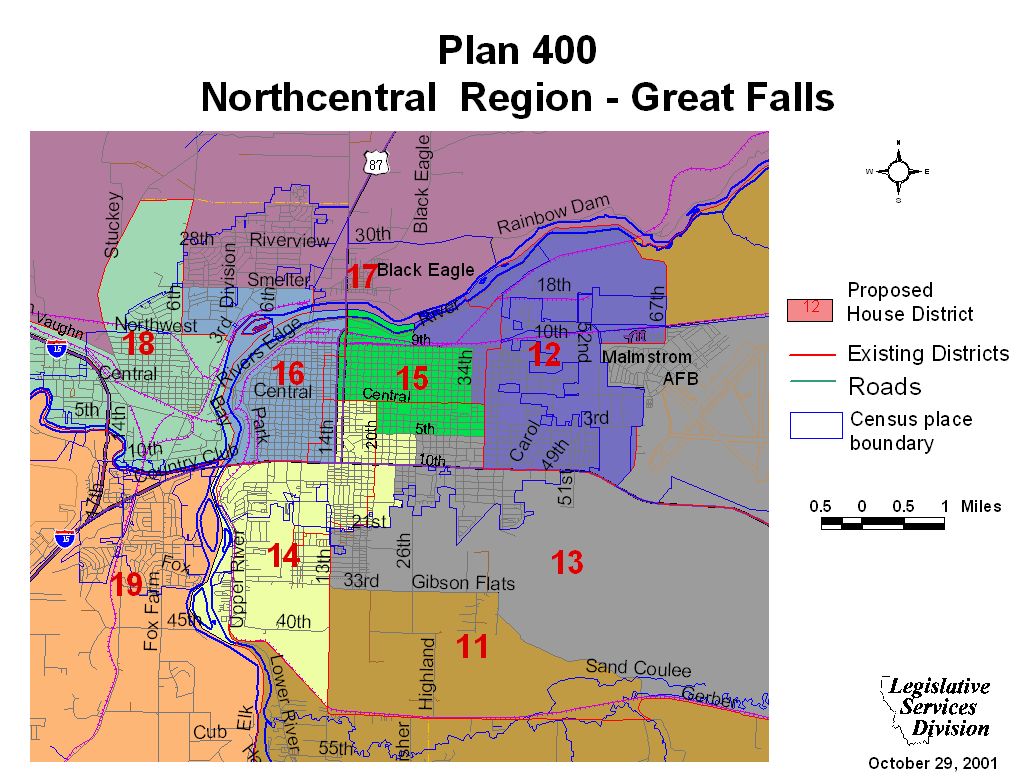
Great Falls Maps
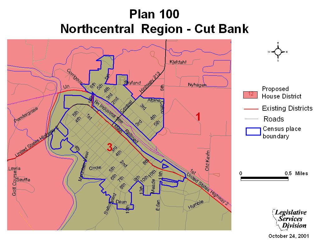
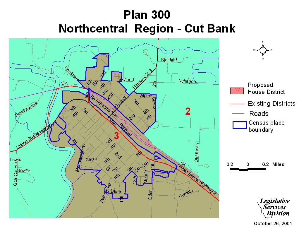
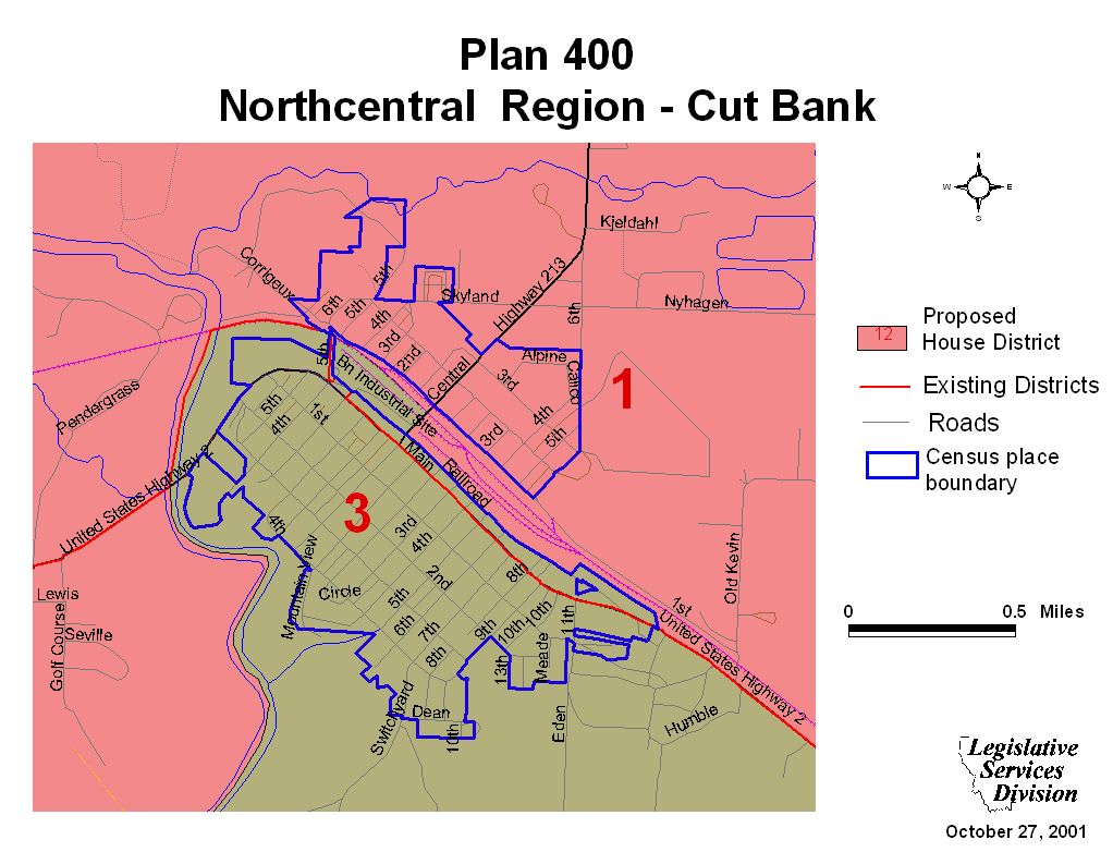
Cut Bank Maps
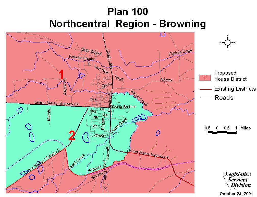
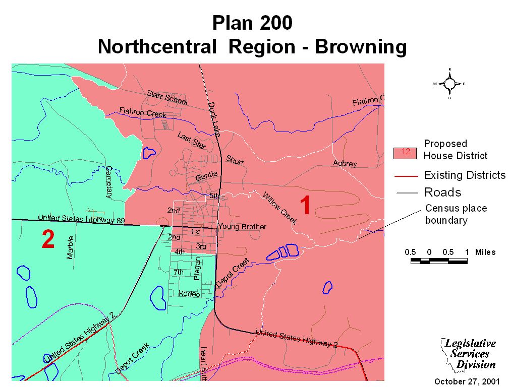
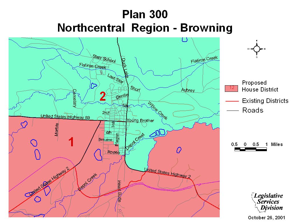
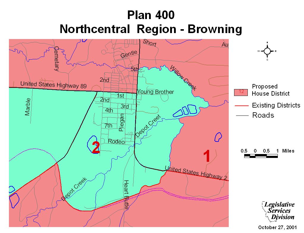
Browning Maps
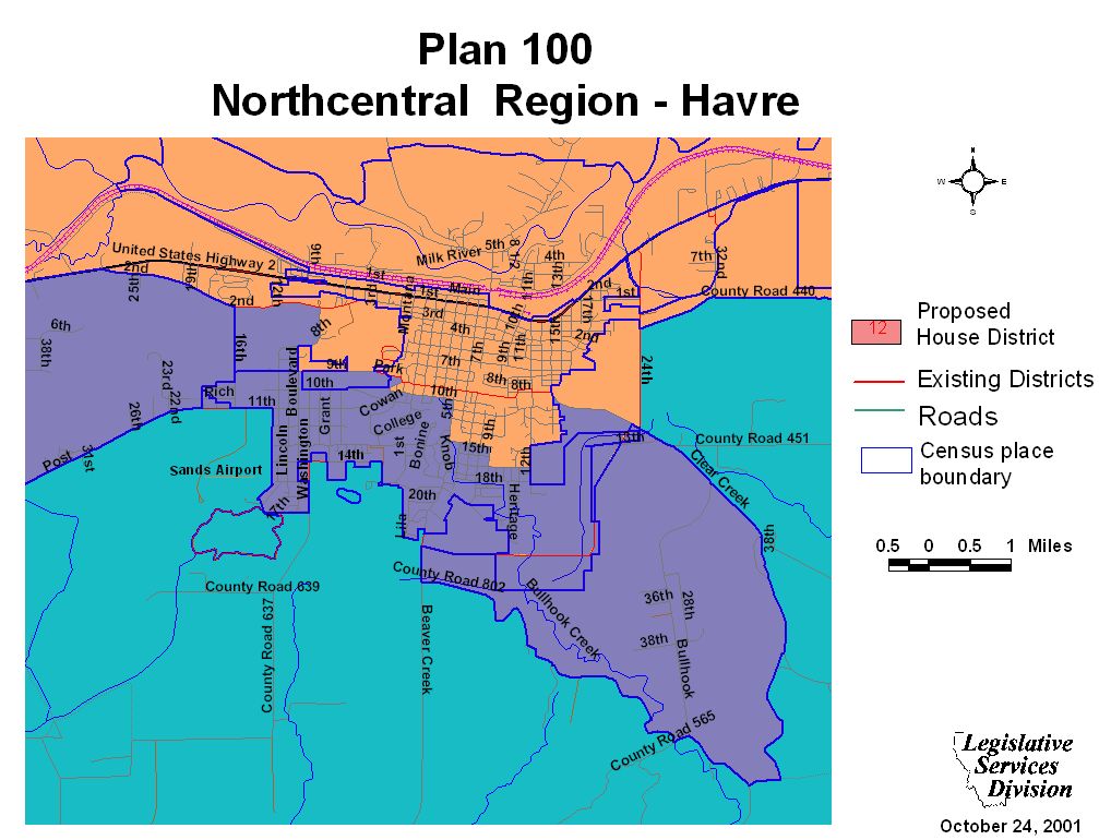
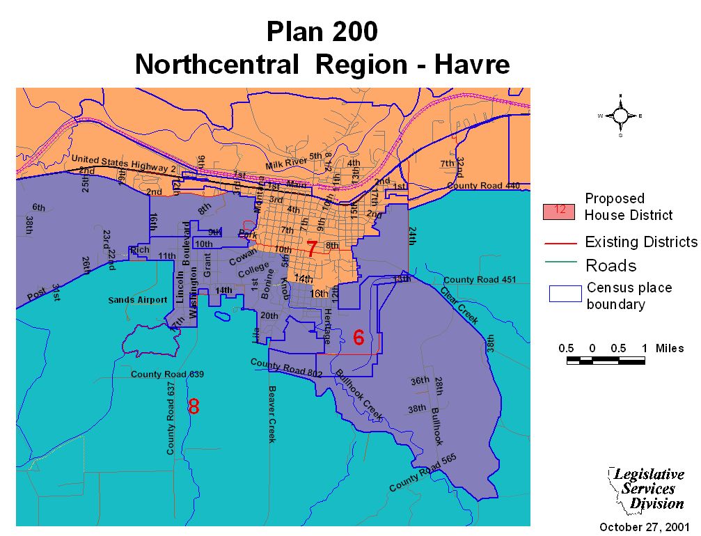
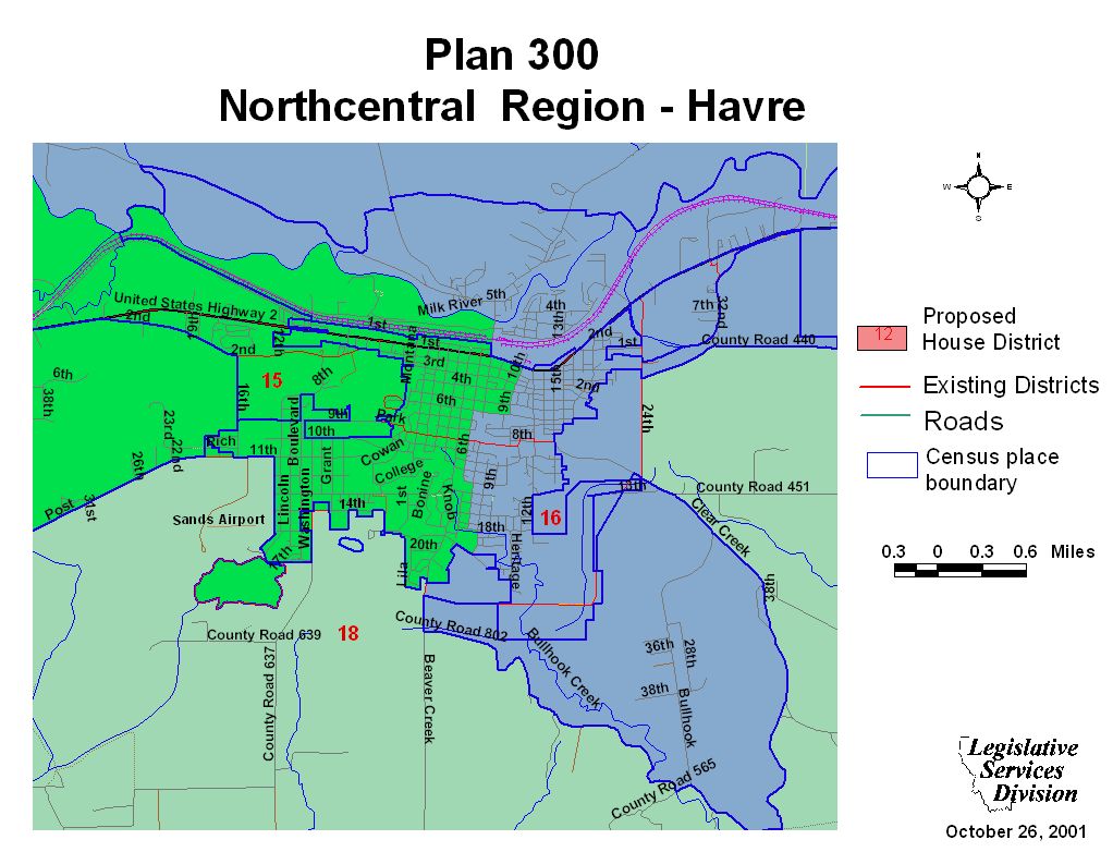
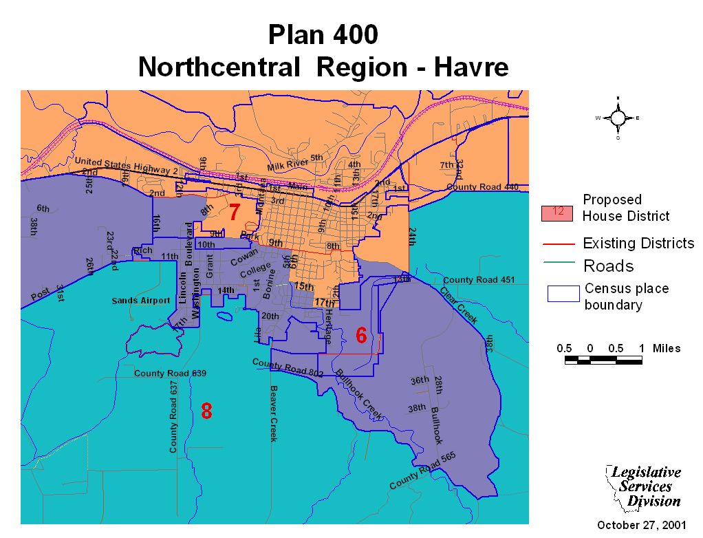
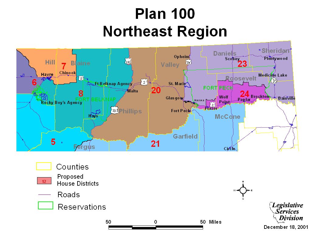
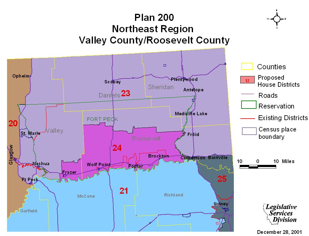
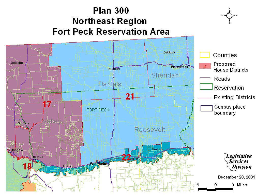
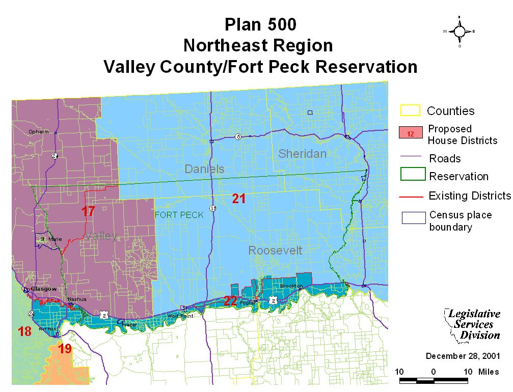
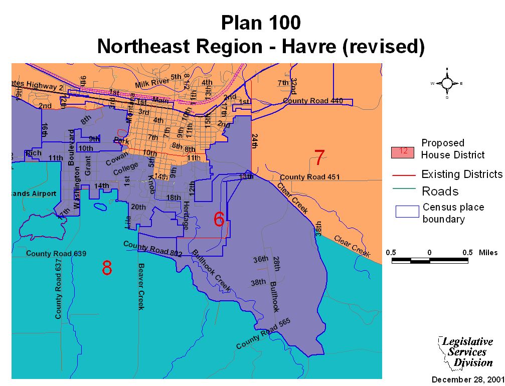
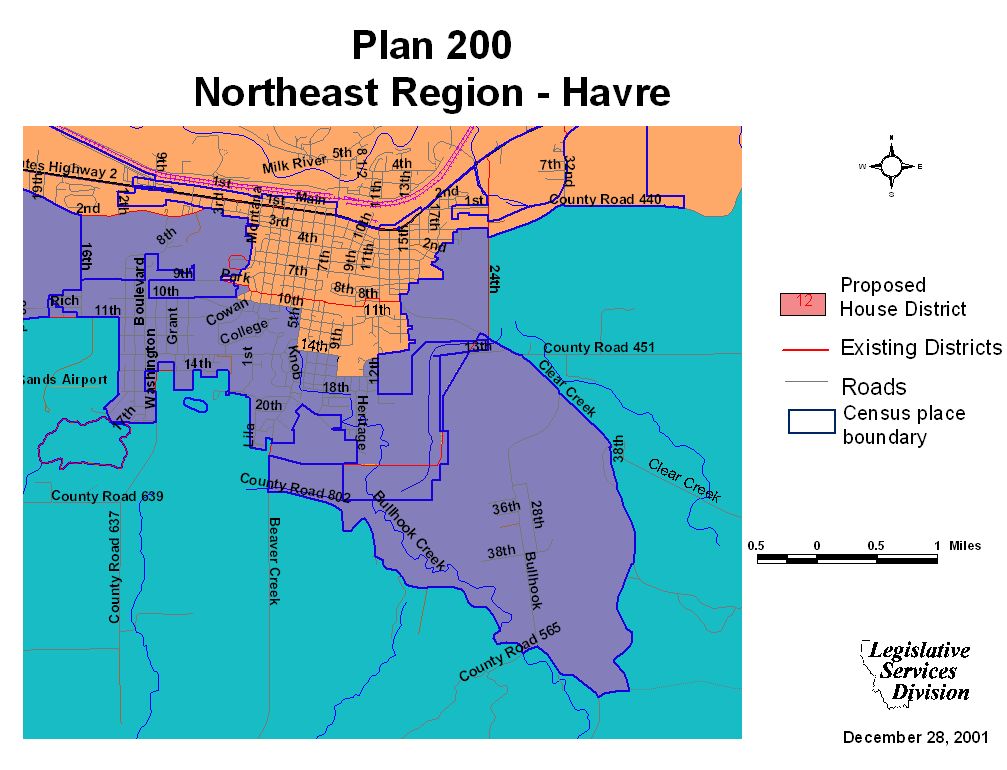
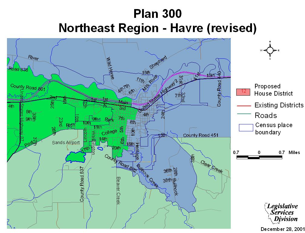
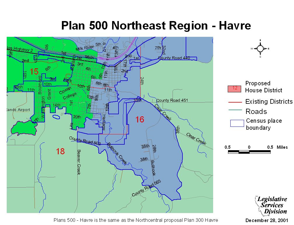
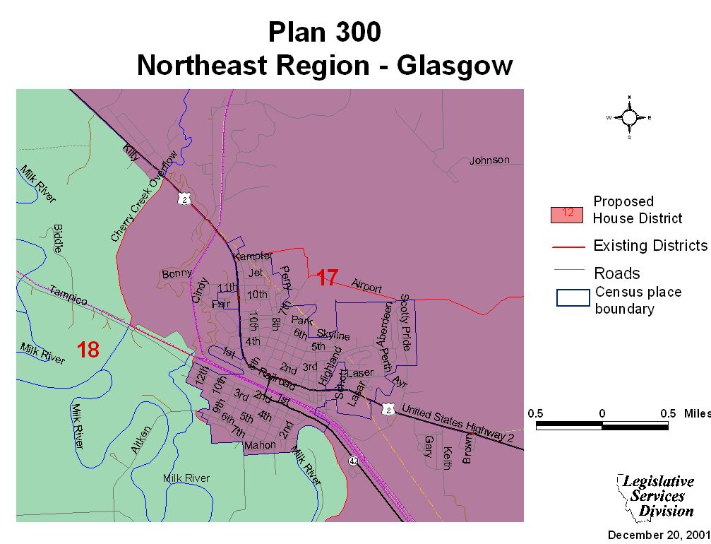
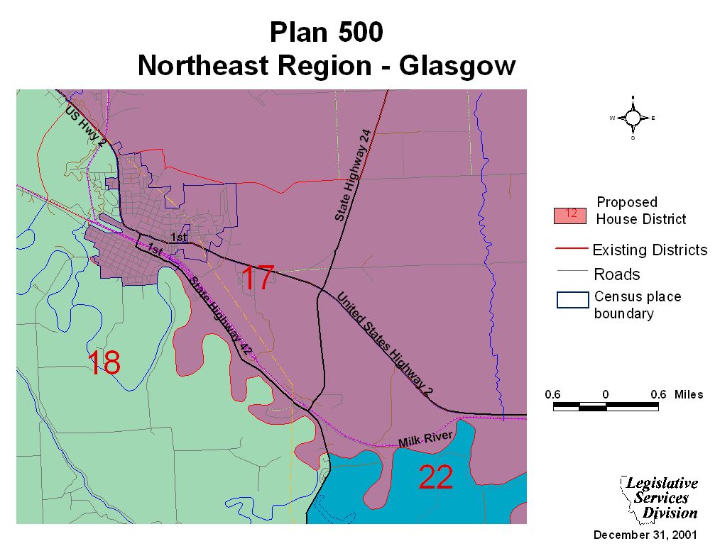
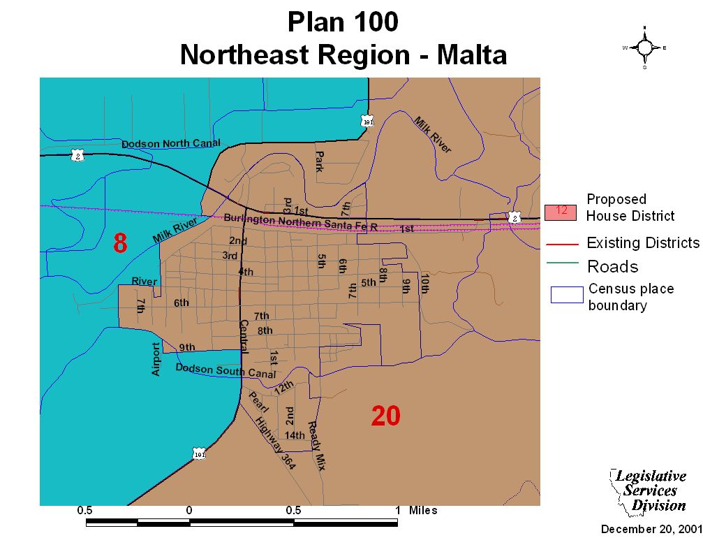
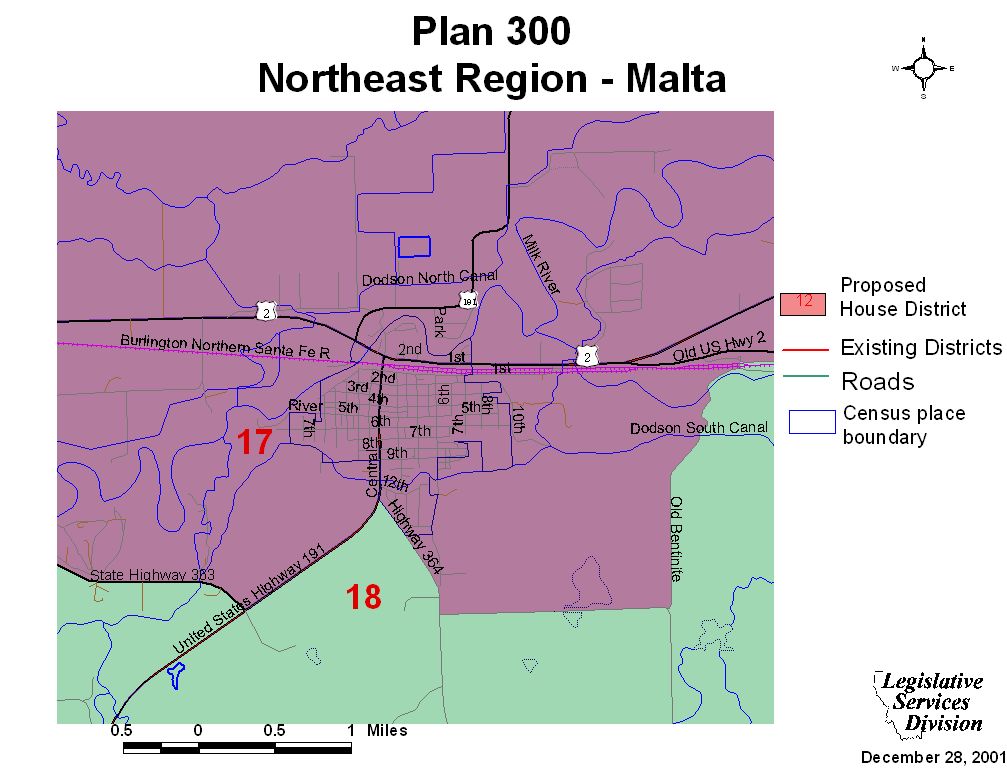
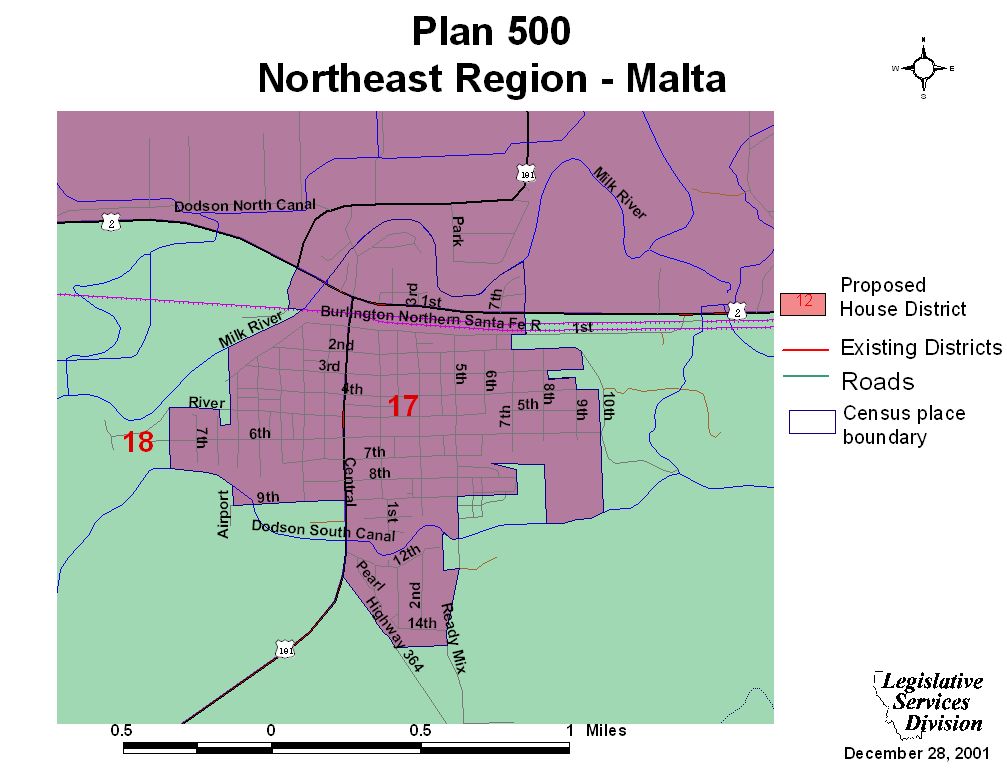
Havre Maps* (See also Northeast Region)
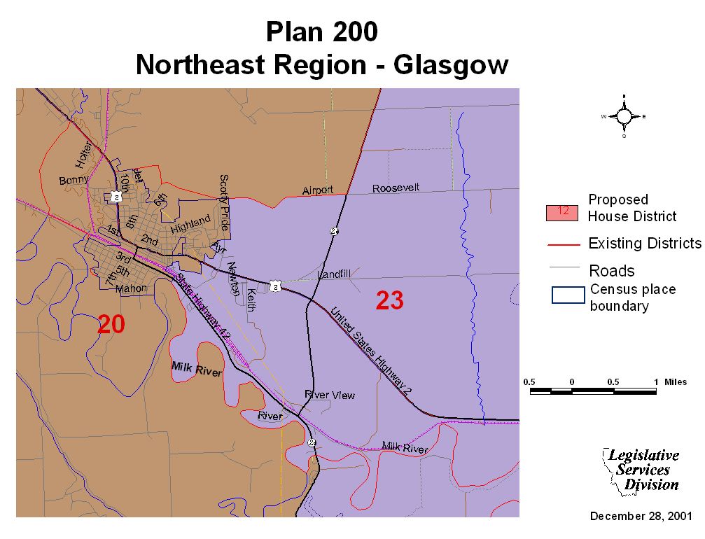
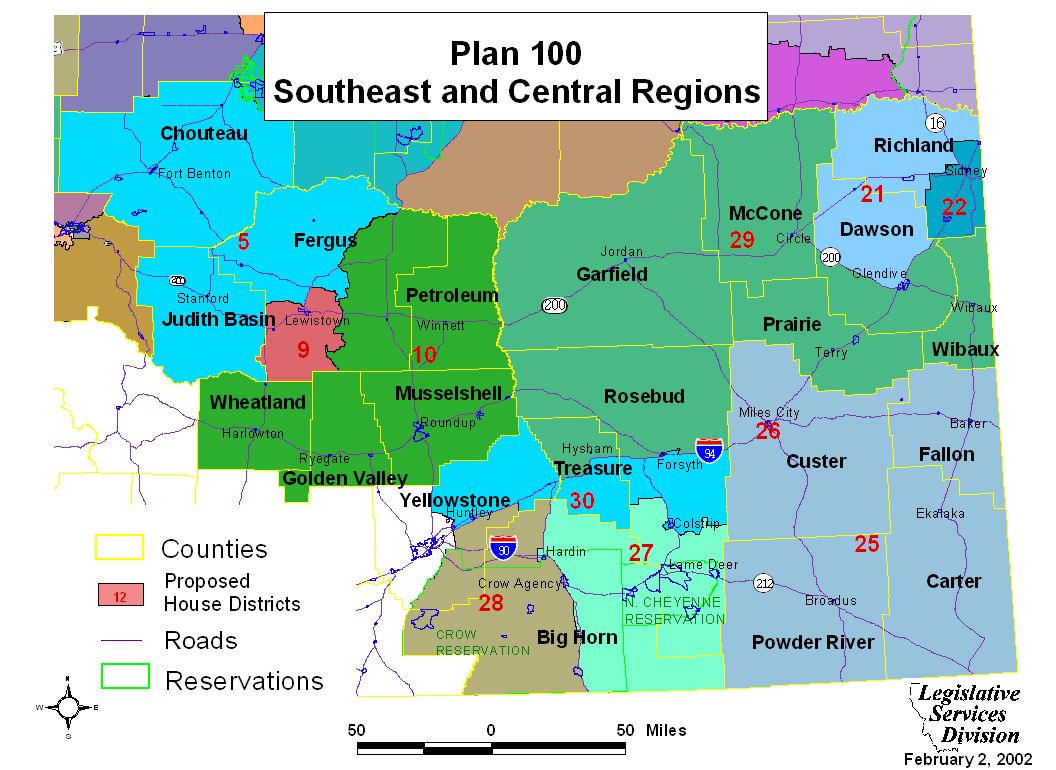
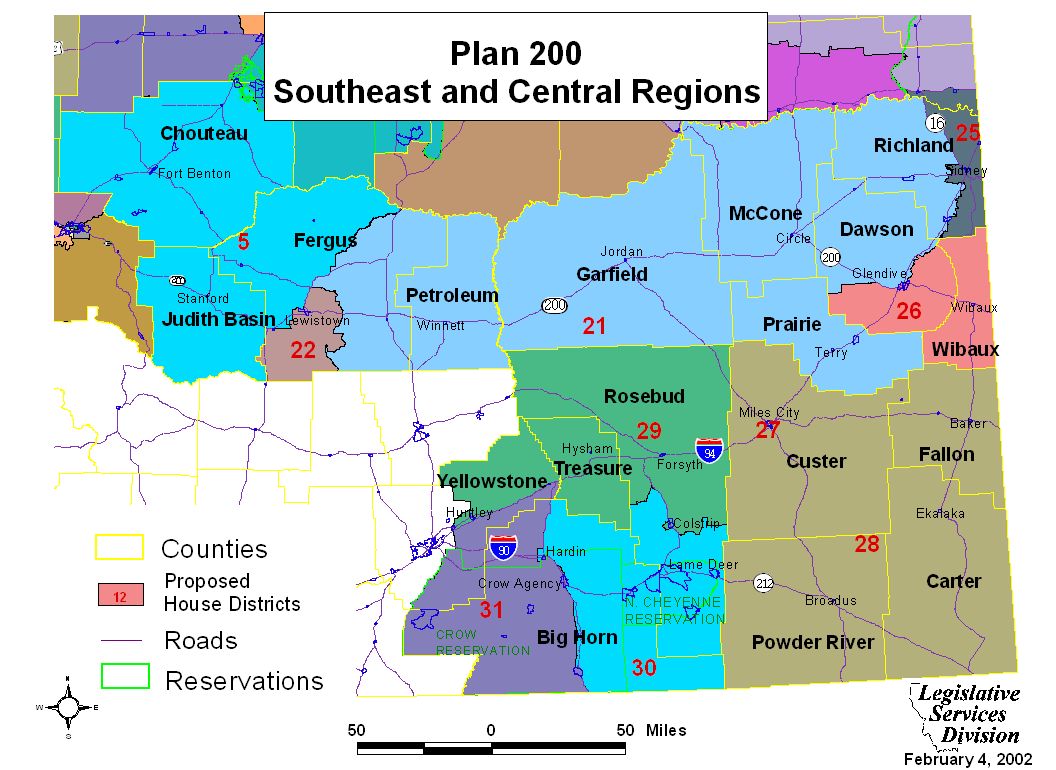
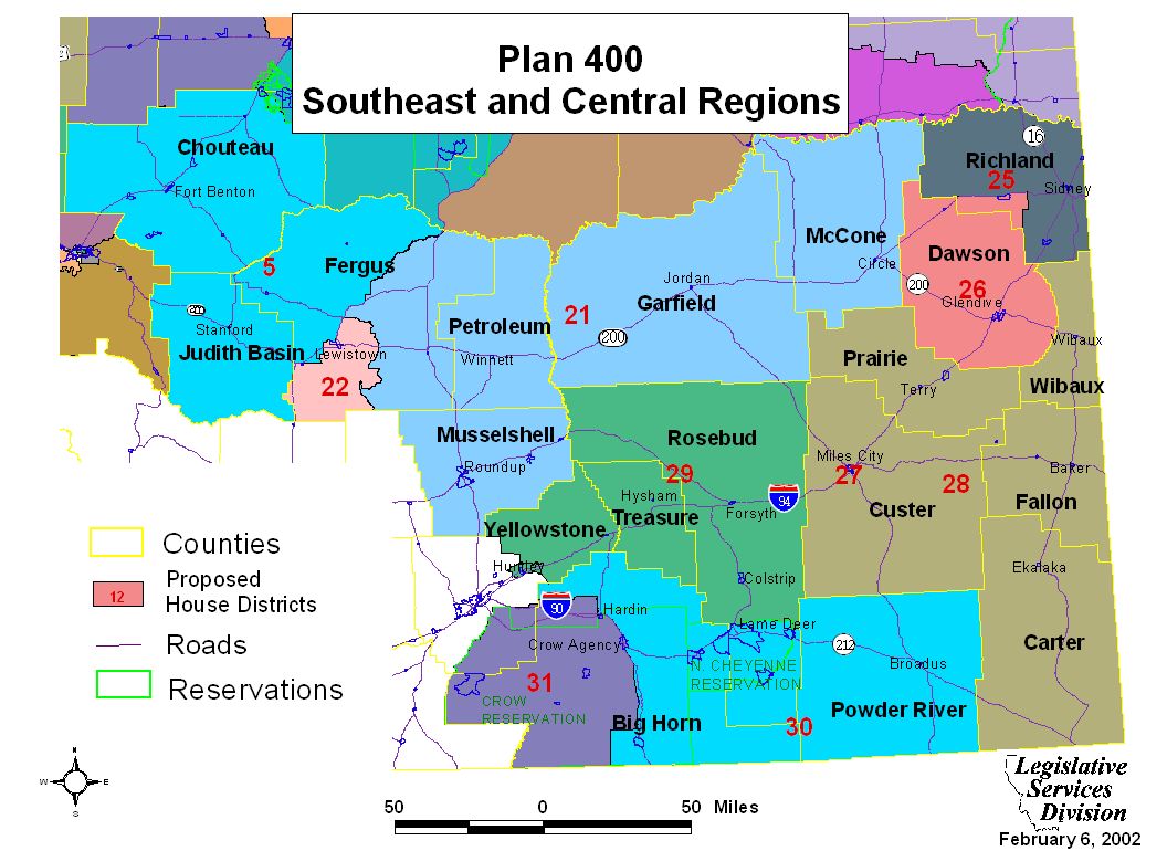
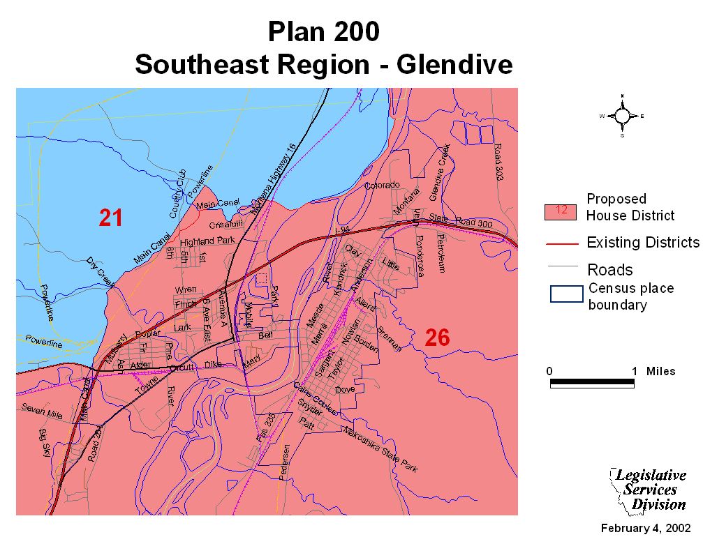
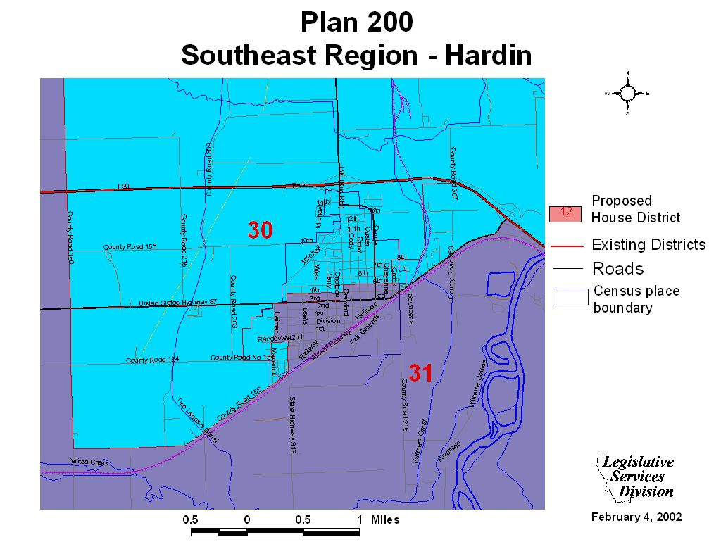
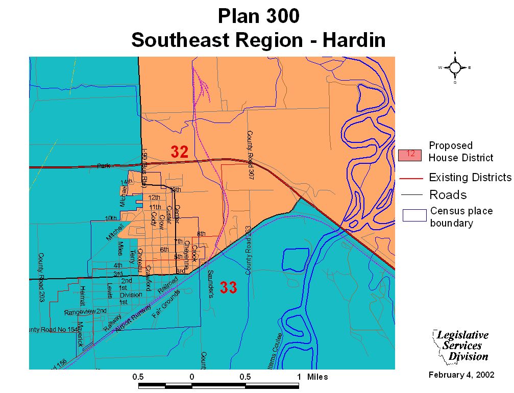
Southeast and Central Regional Maps and Plan Overview
Southeast Region Maps
Glendive Maps
Forsyth Map
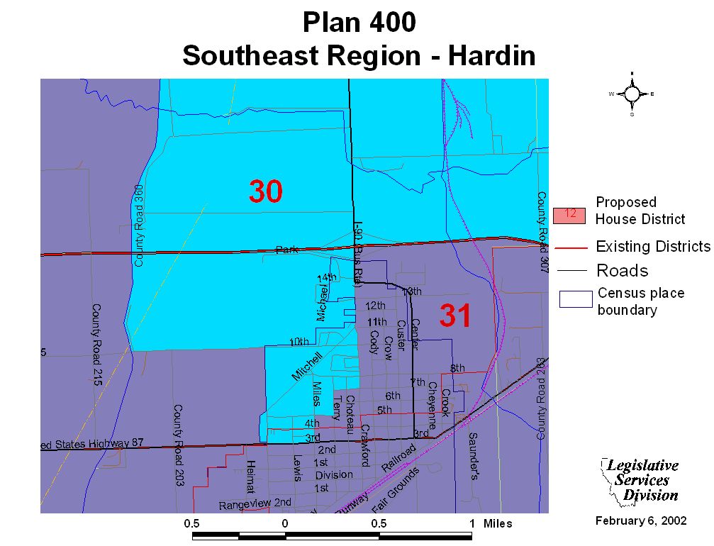
Hardin Maps
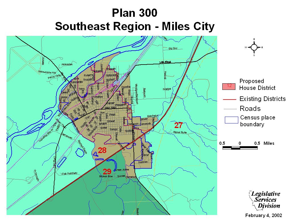
Miles City Maps
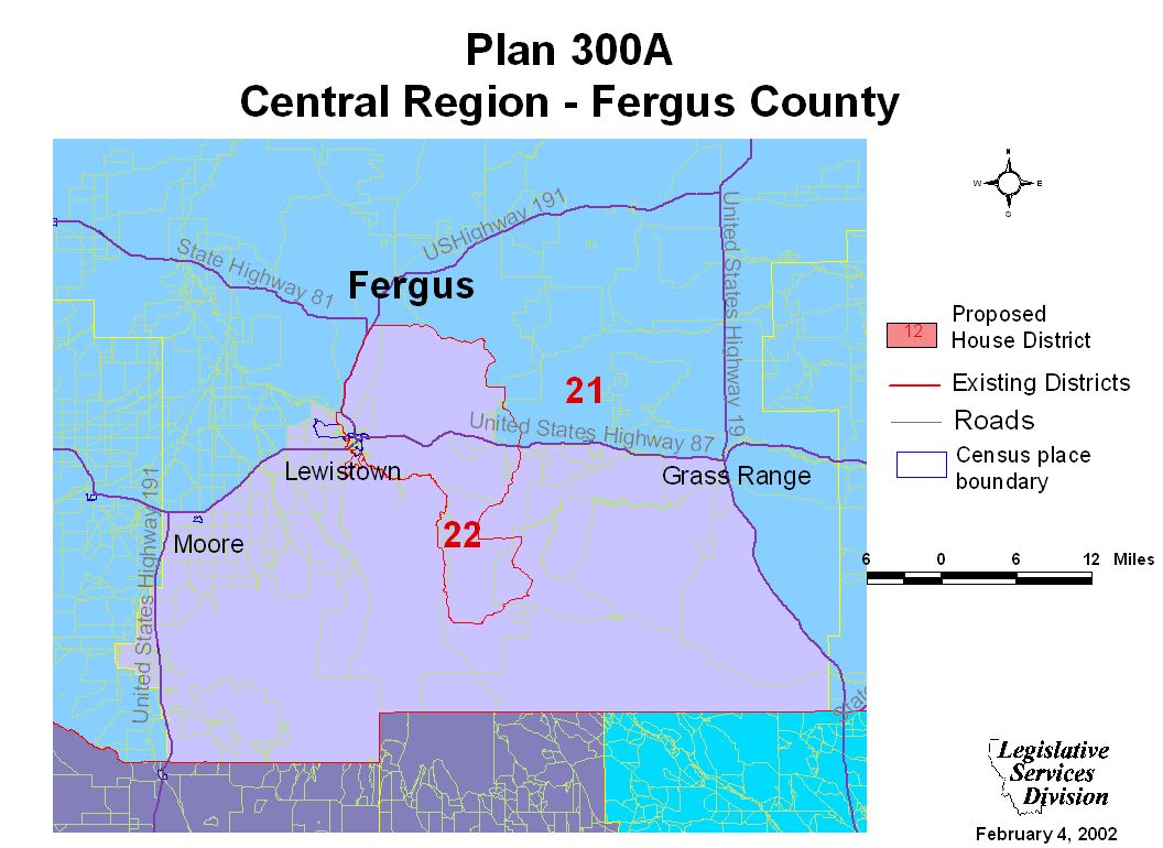
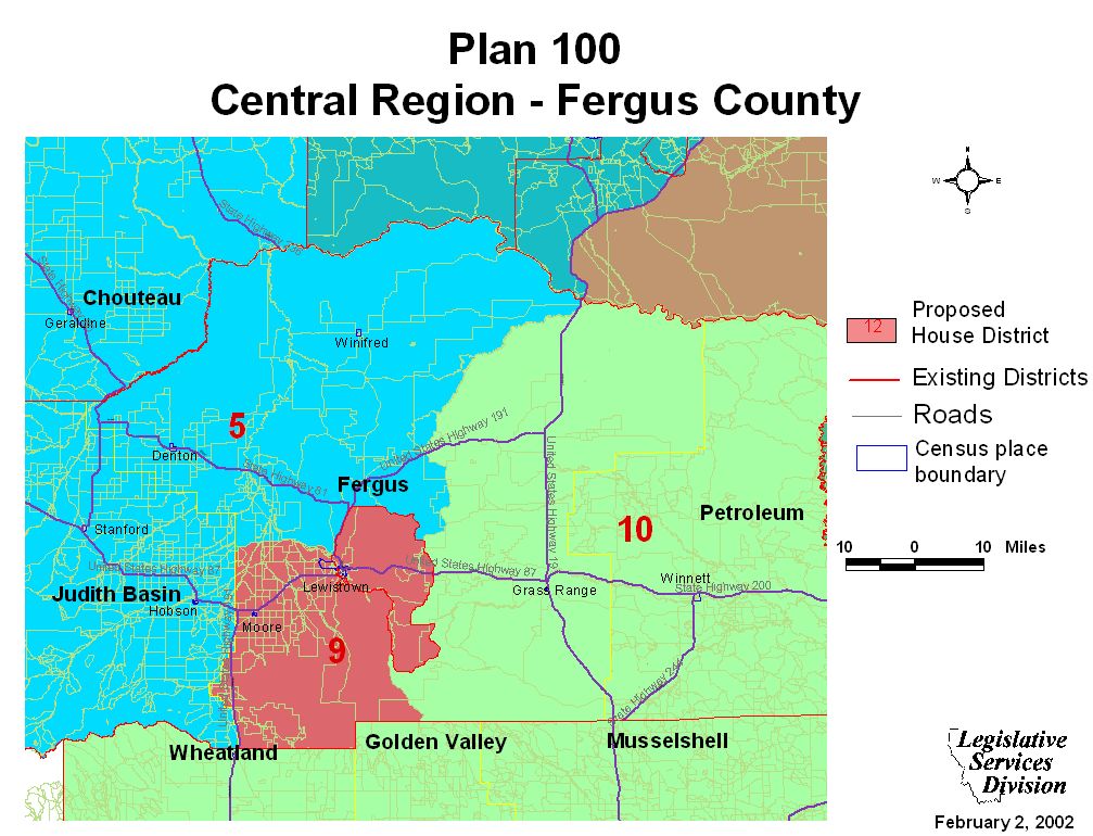
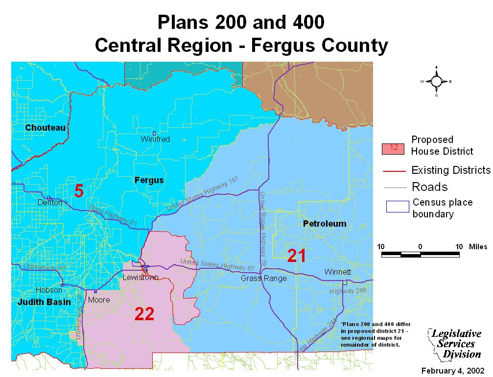
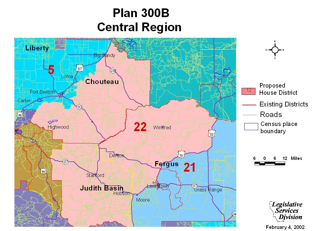
Central Region Maps
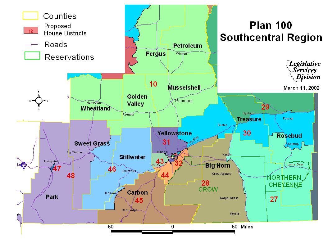
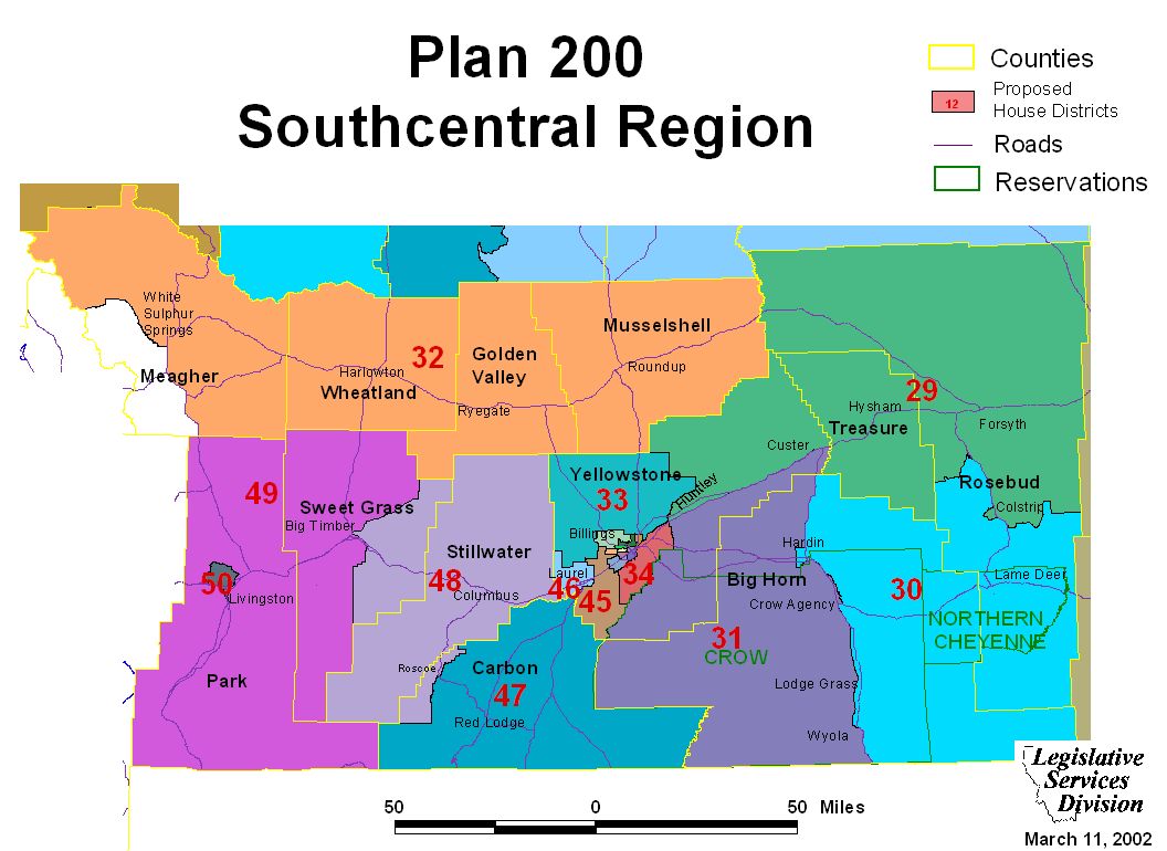
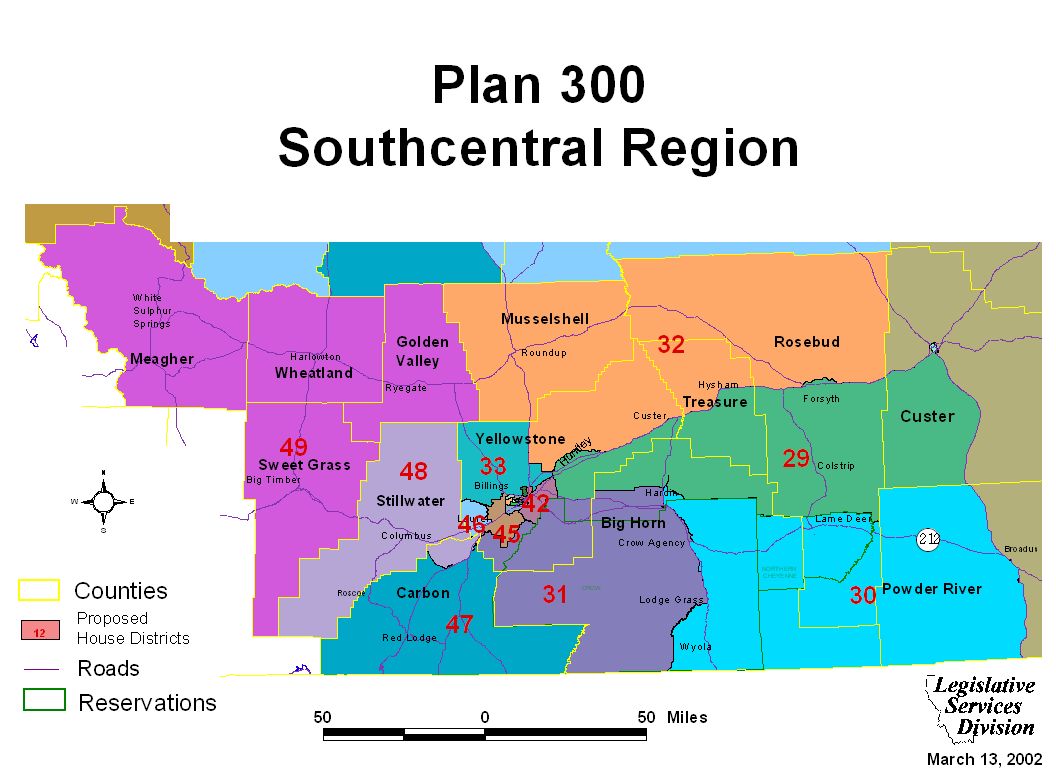
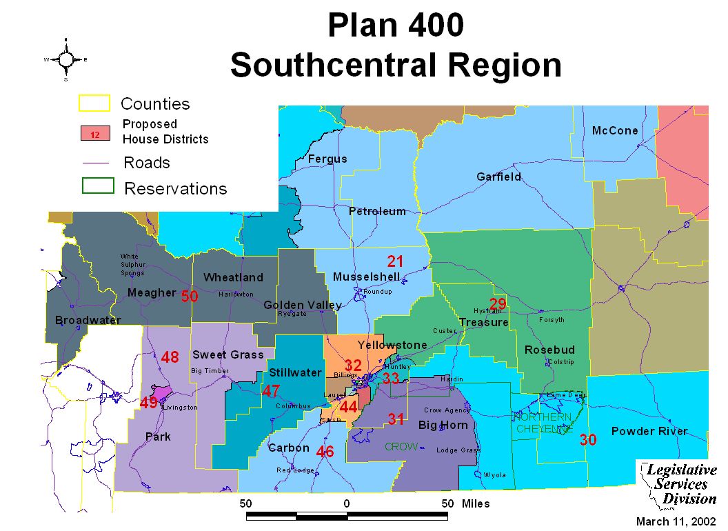
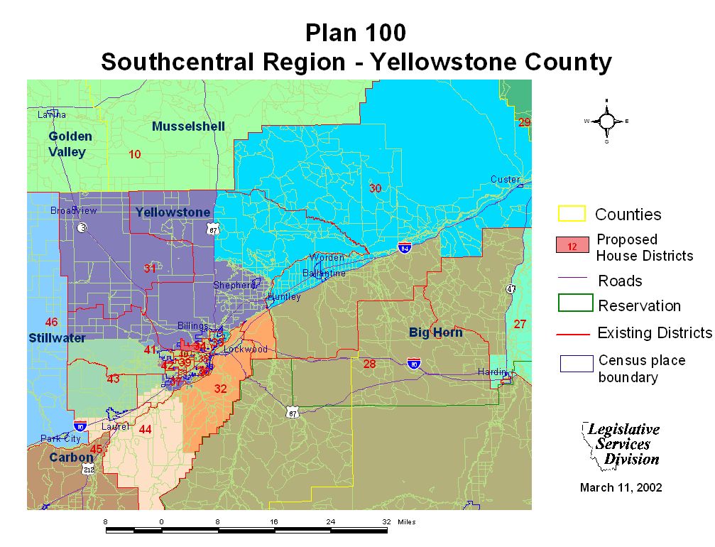
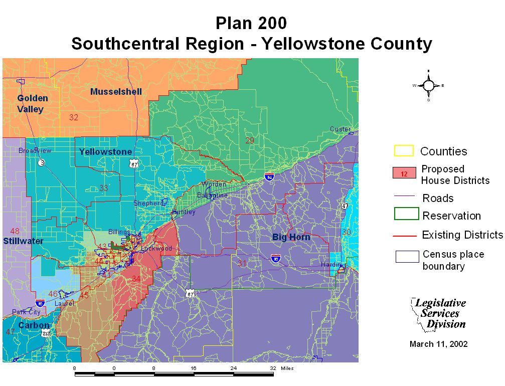
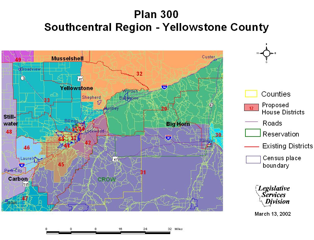
Southcentral Regional Maps and Plan Overview
Southcentral Region Maps
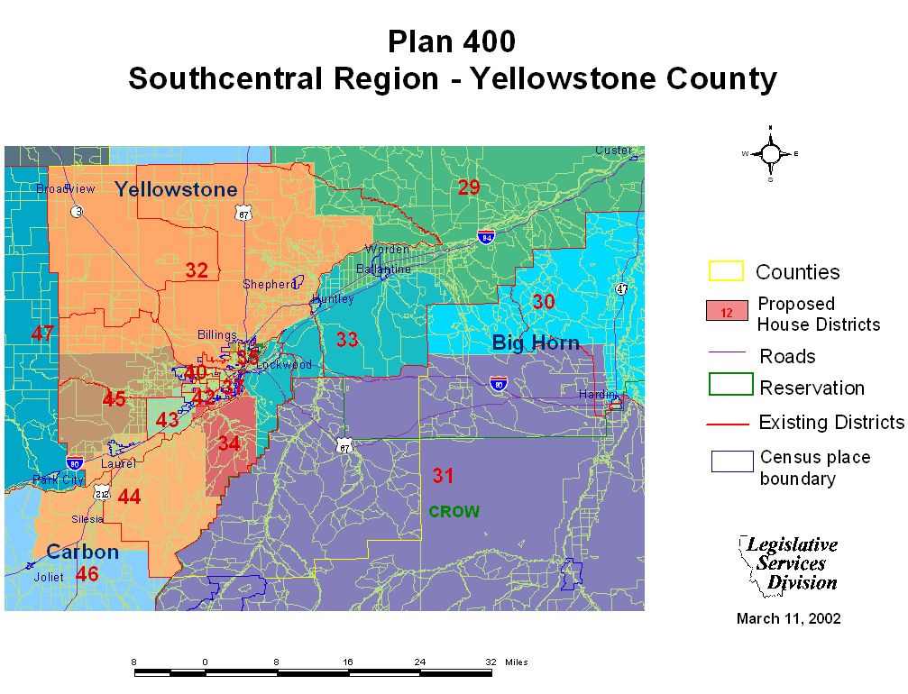
Yellowstone County Maps
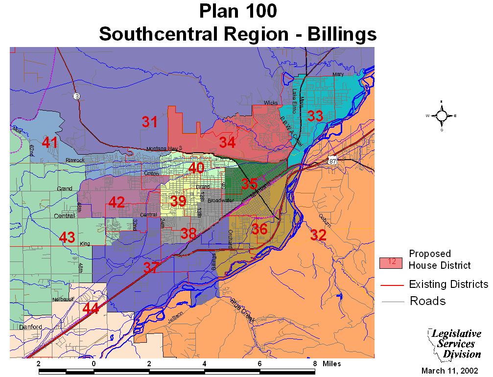
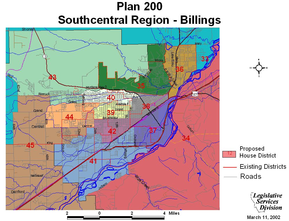
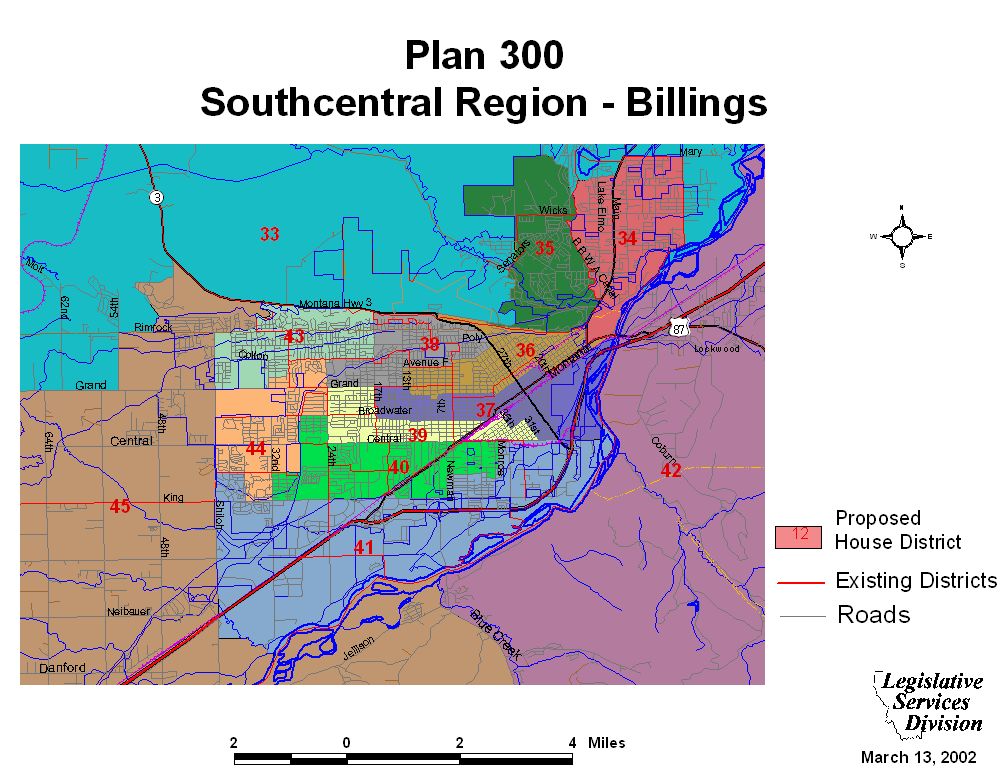
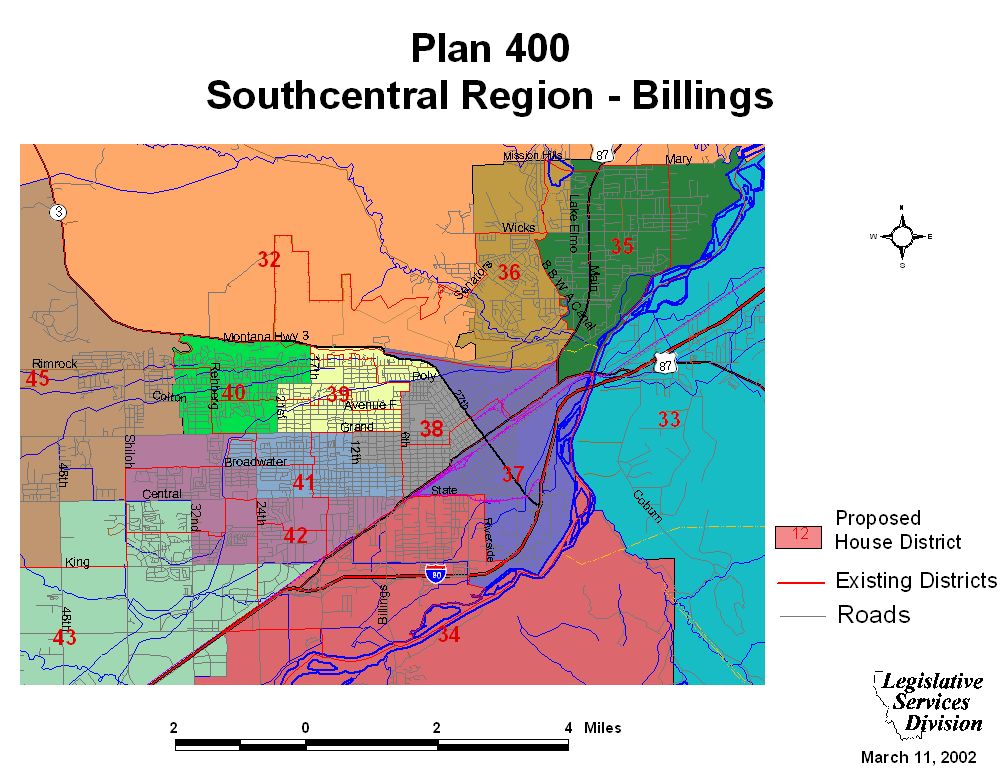
Billings Maps
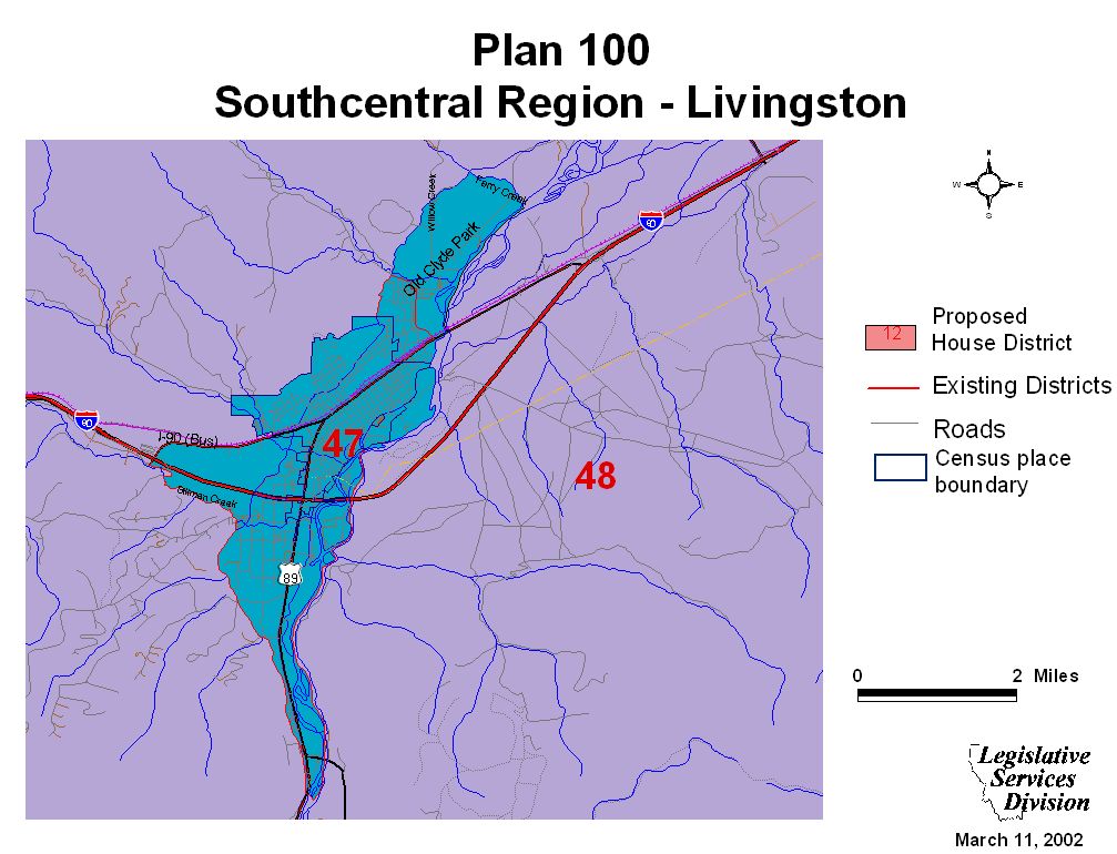
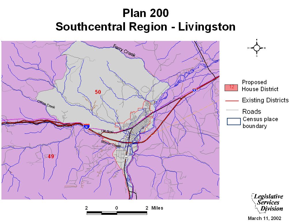
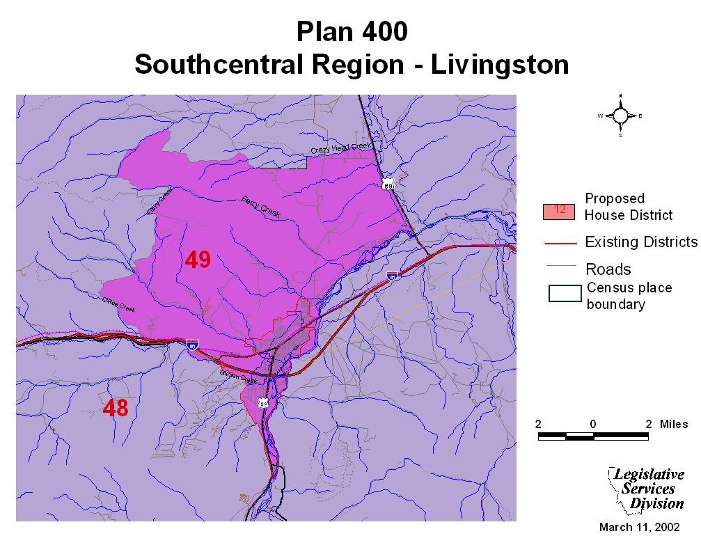
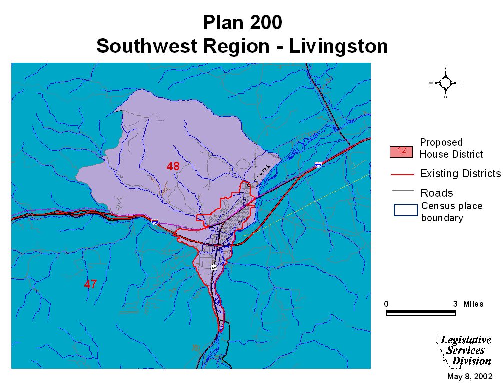
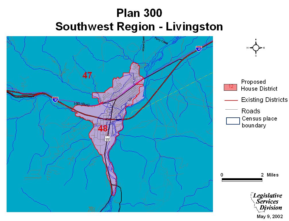
Livingston Maps
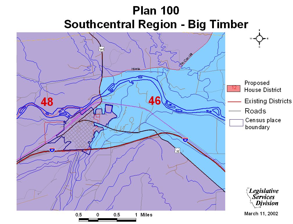
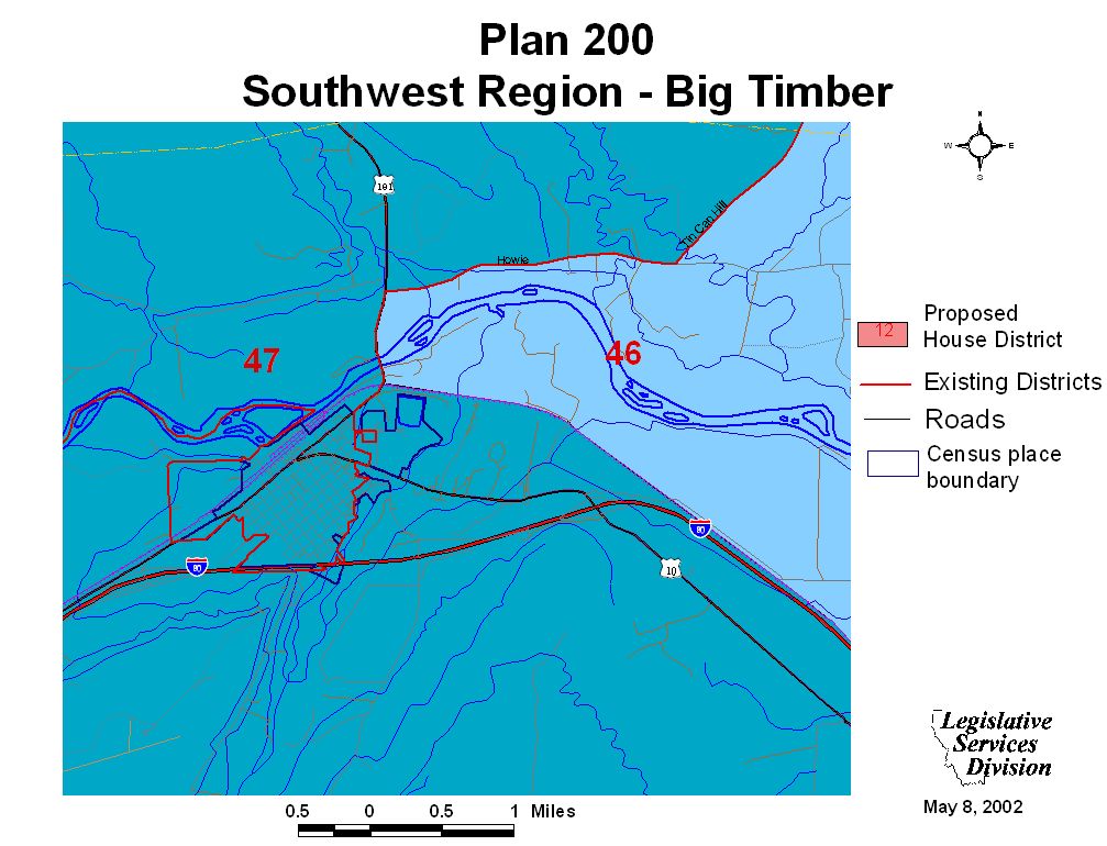
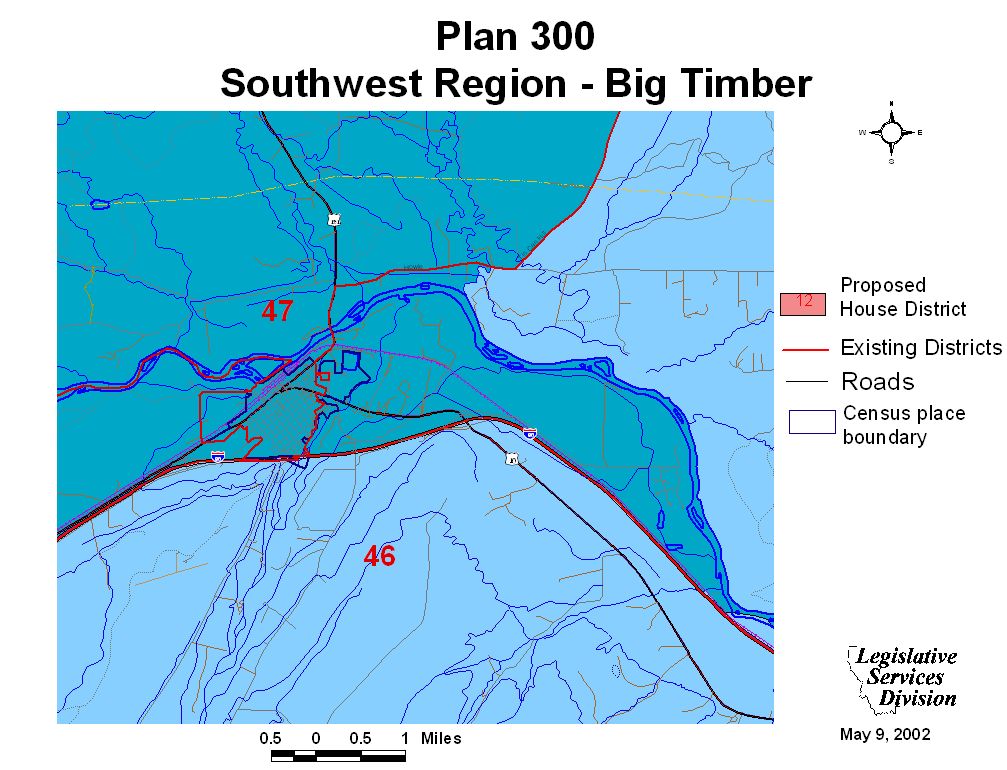
Big Timber Maps
Southwest Regional Maps and Plan Overview
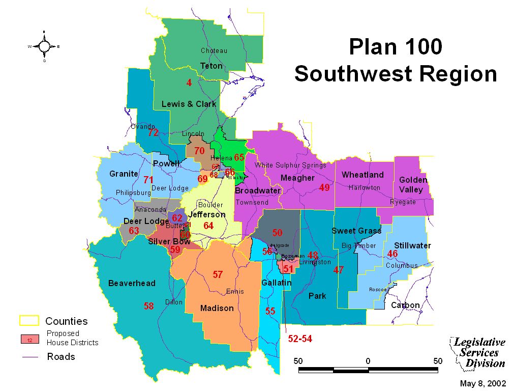
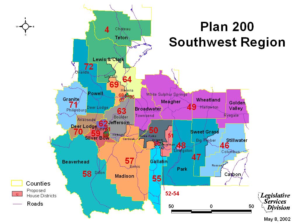
Southwest Region Maps
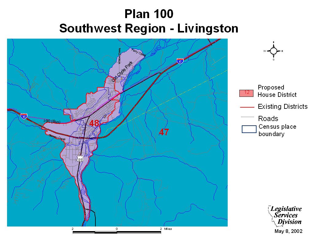
Livingston Maps
Big Timber Maps
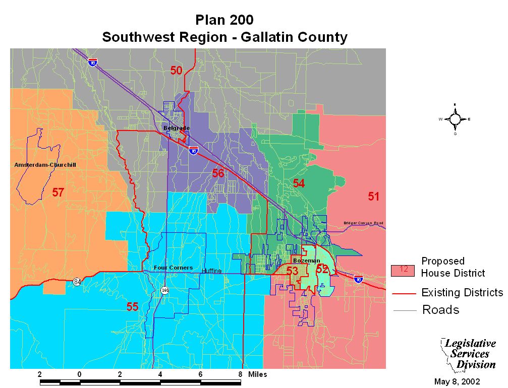
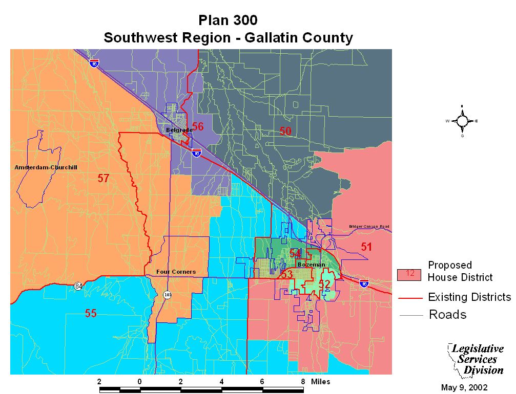
Gallatin County Maps
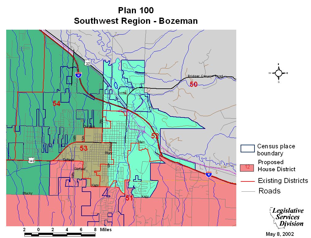
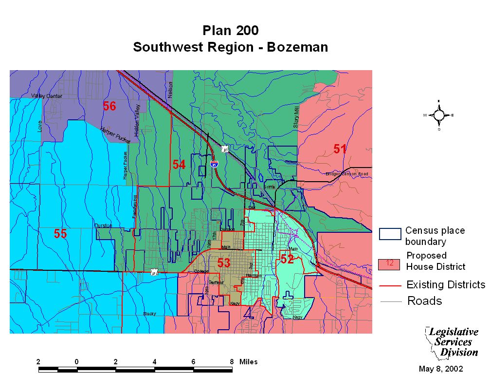
Bozeman Maps
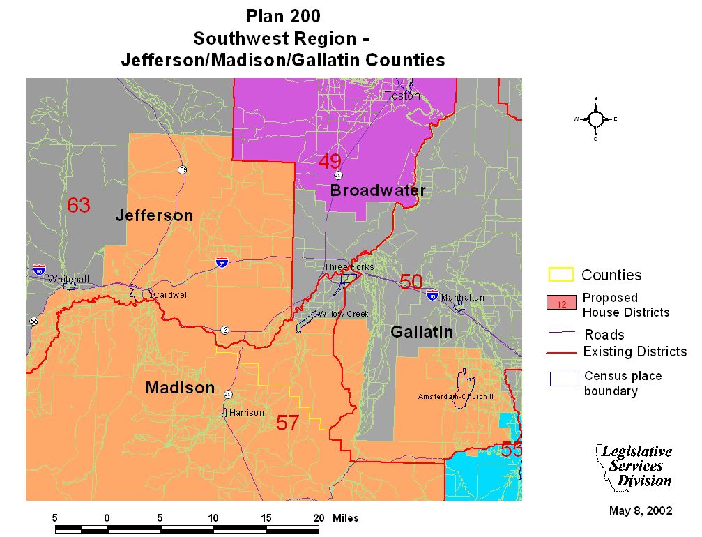
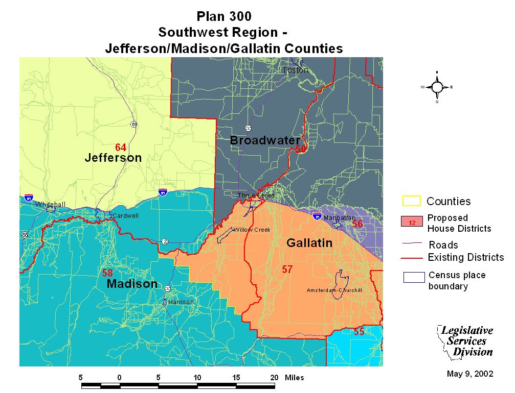
Jefferson, Madison, and Gallatin County Maps
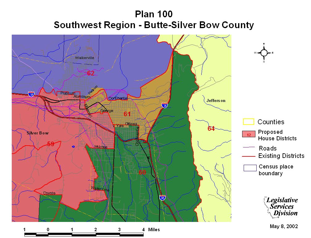
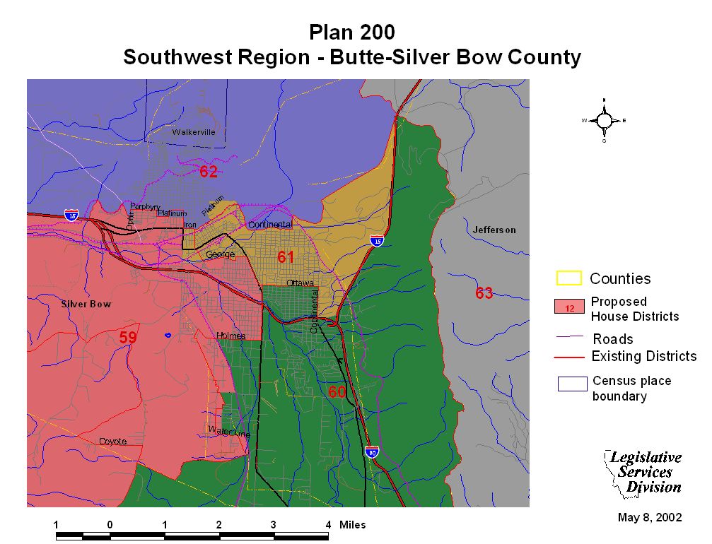
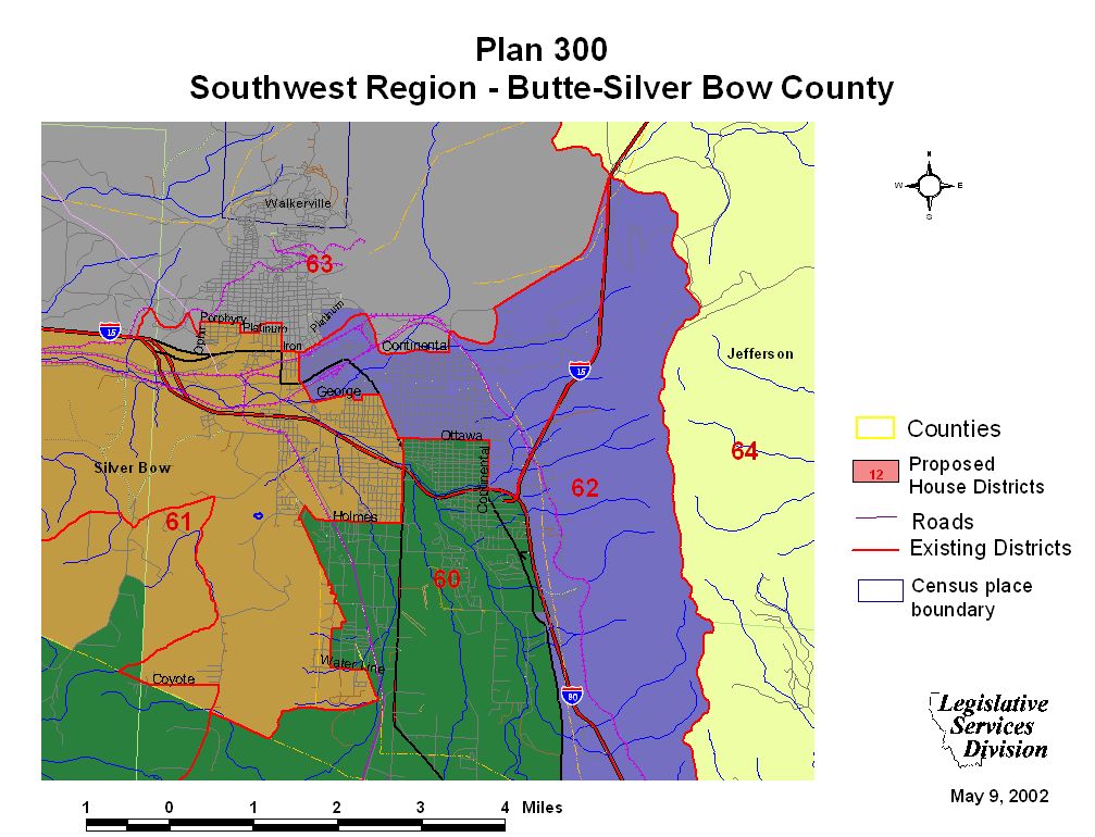
Butte/Silver Bow County Maps
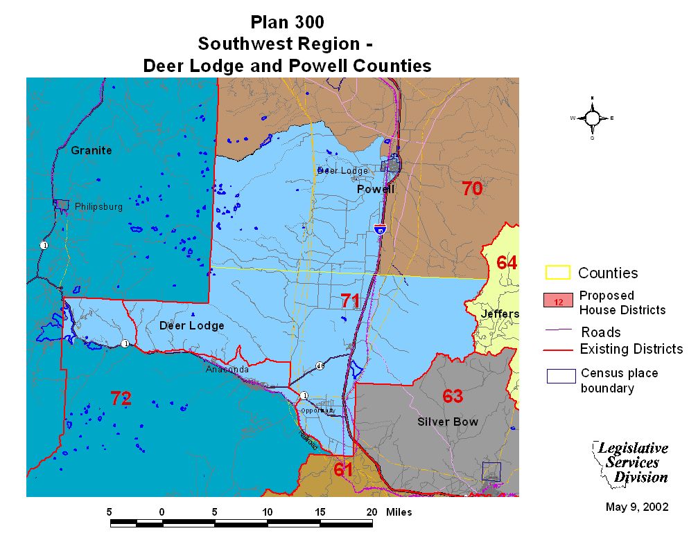
Deer Lodge or Powell County Map
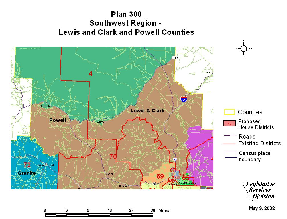
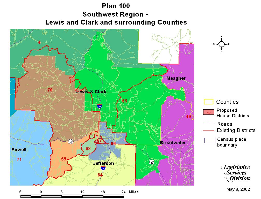
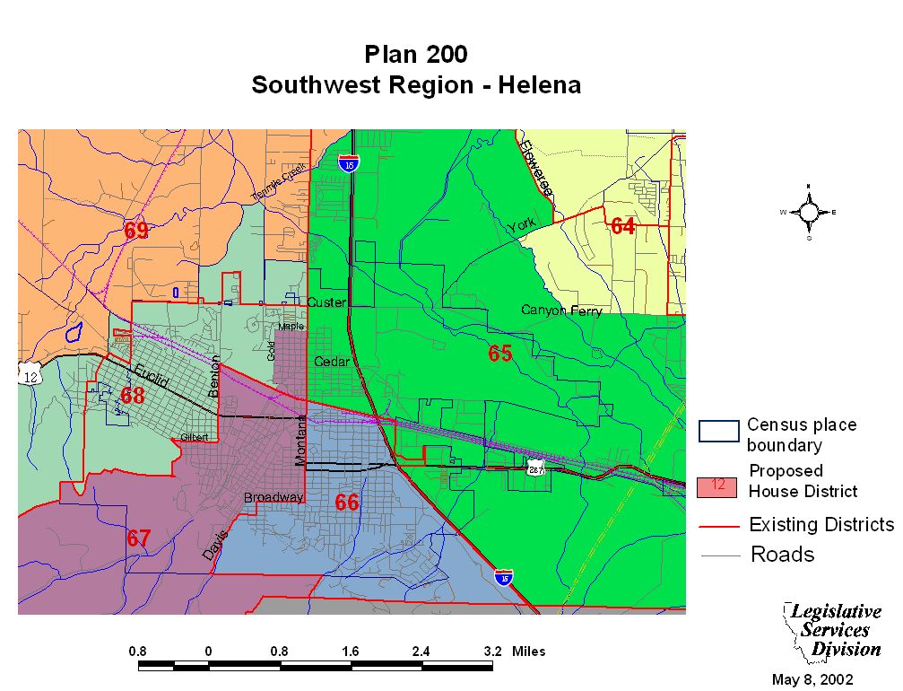
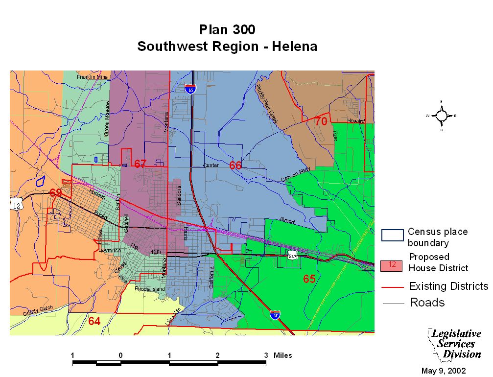
Helena and Lewis and Clark County Maps
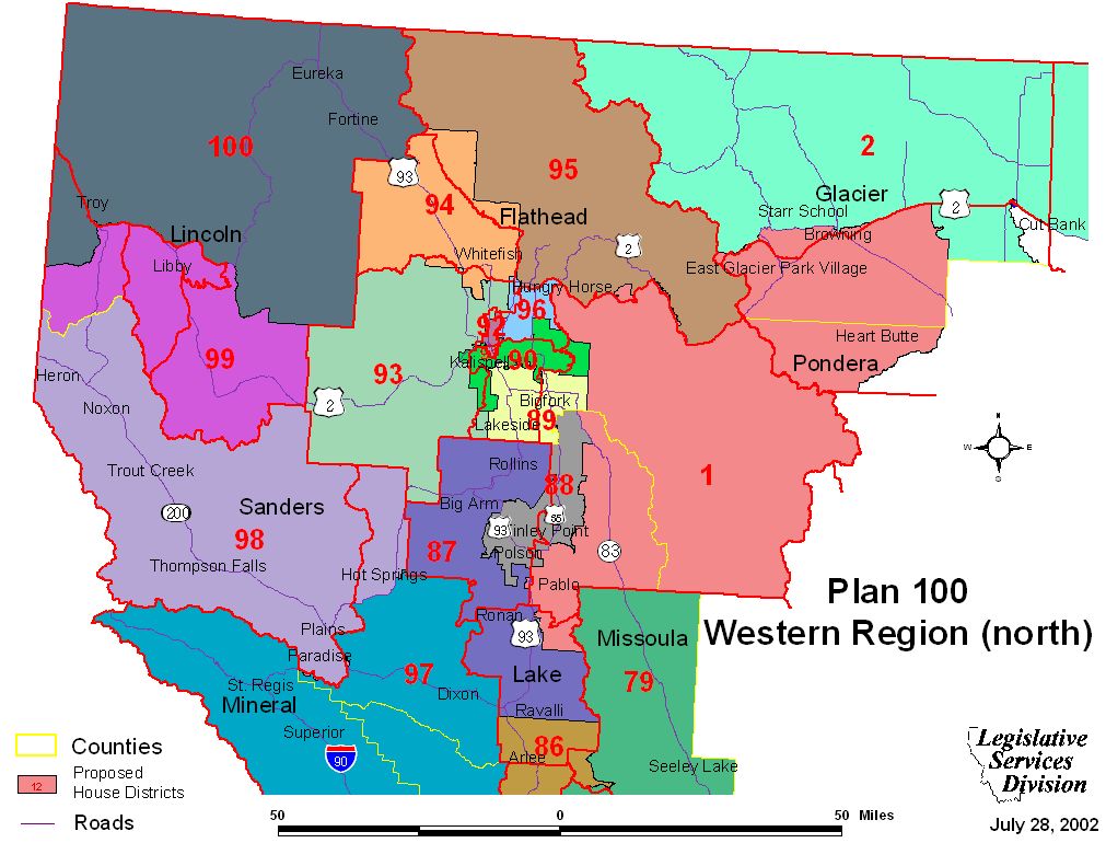
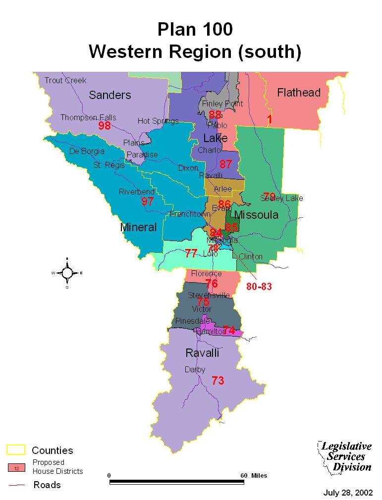
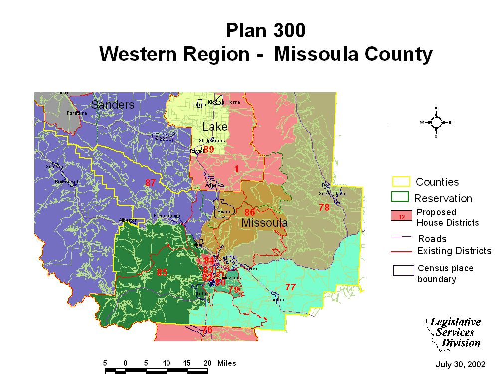
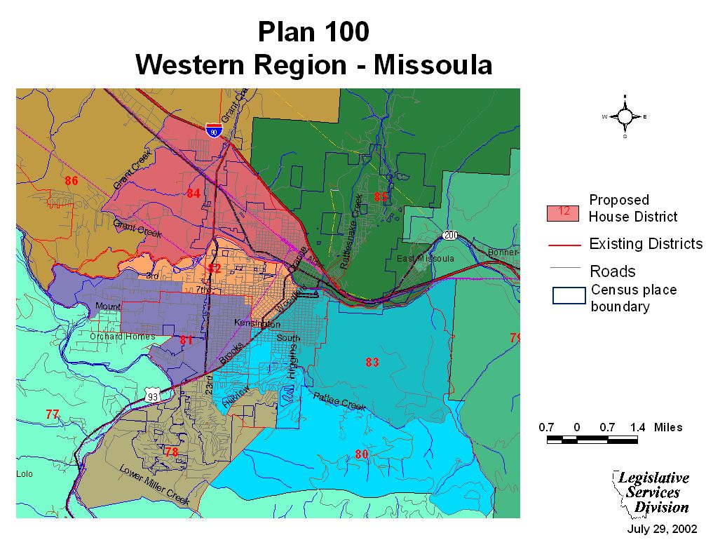
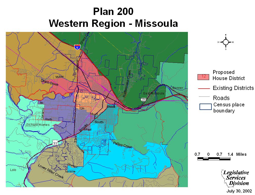
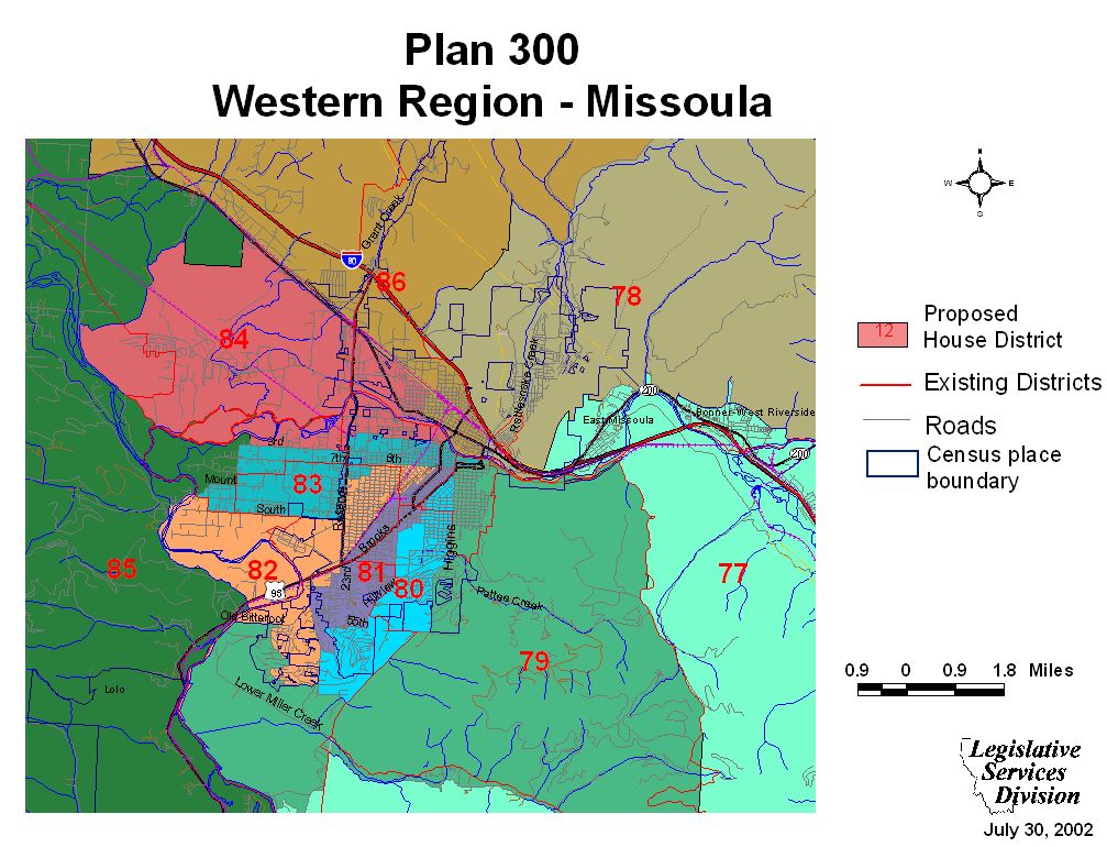
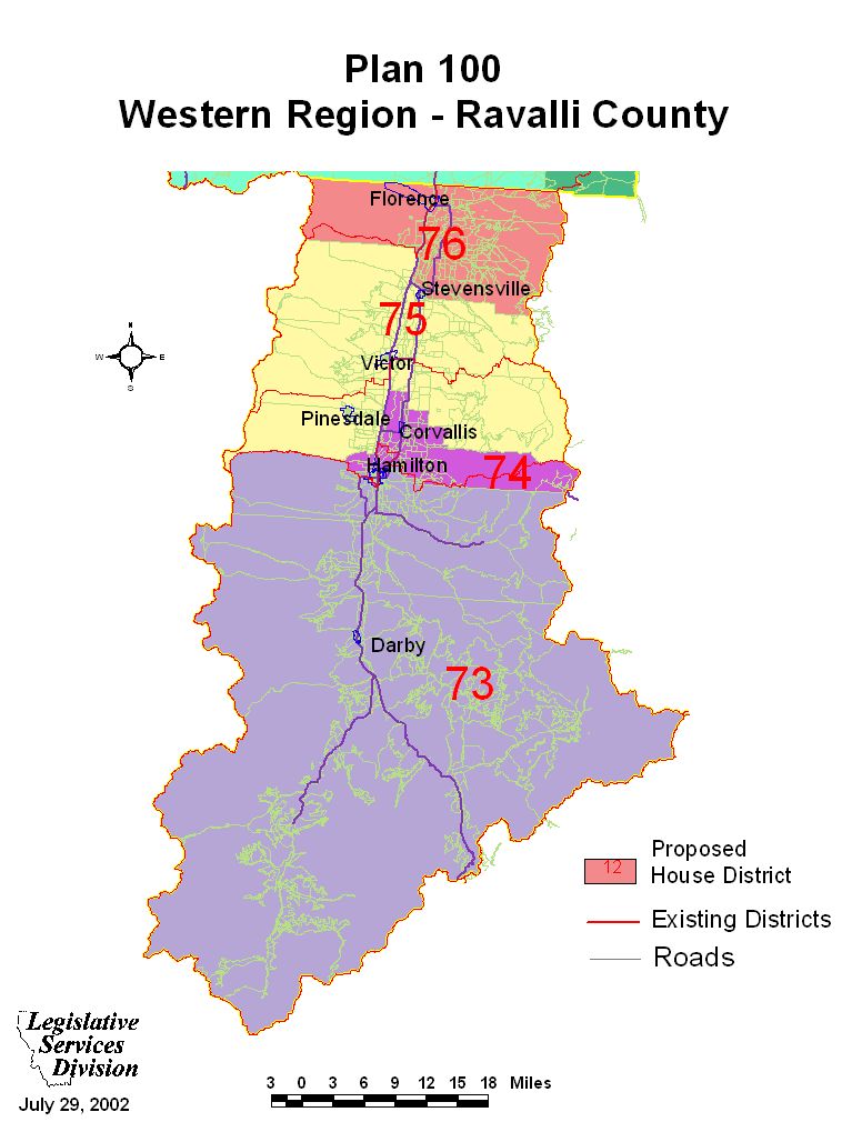
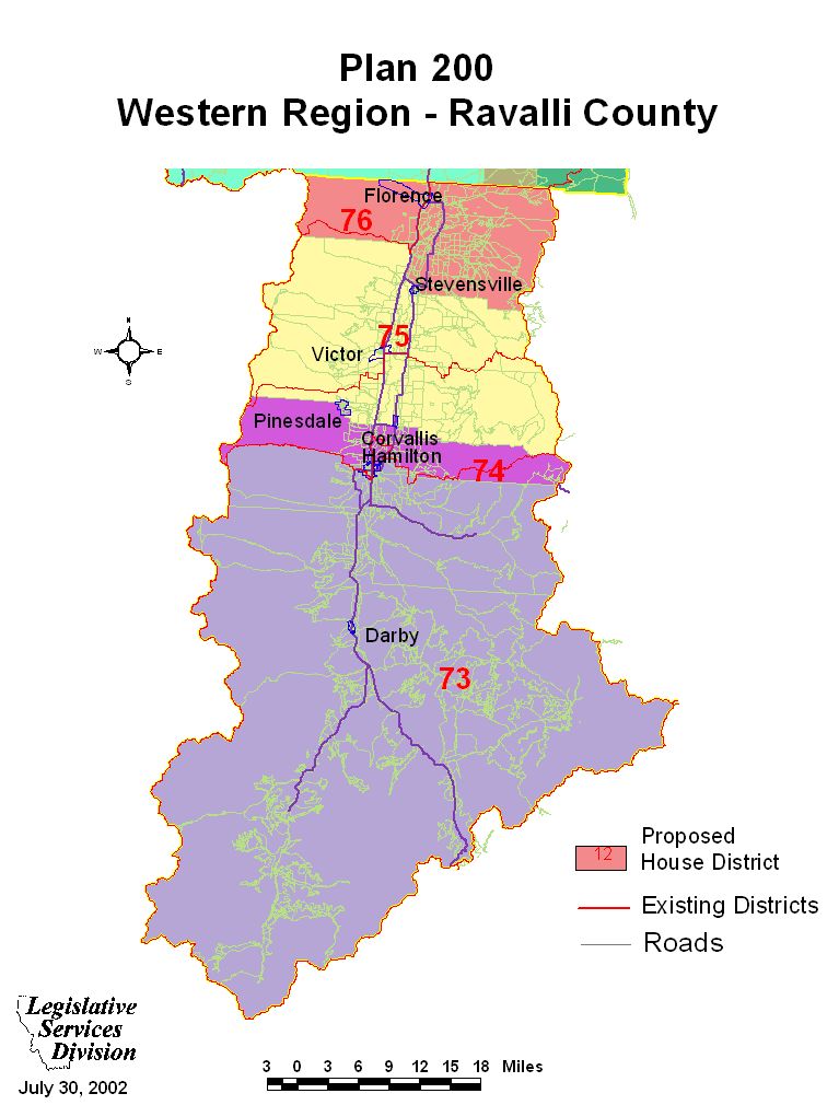
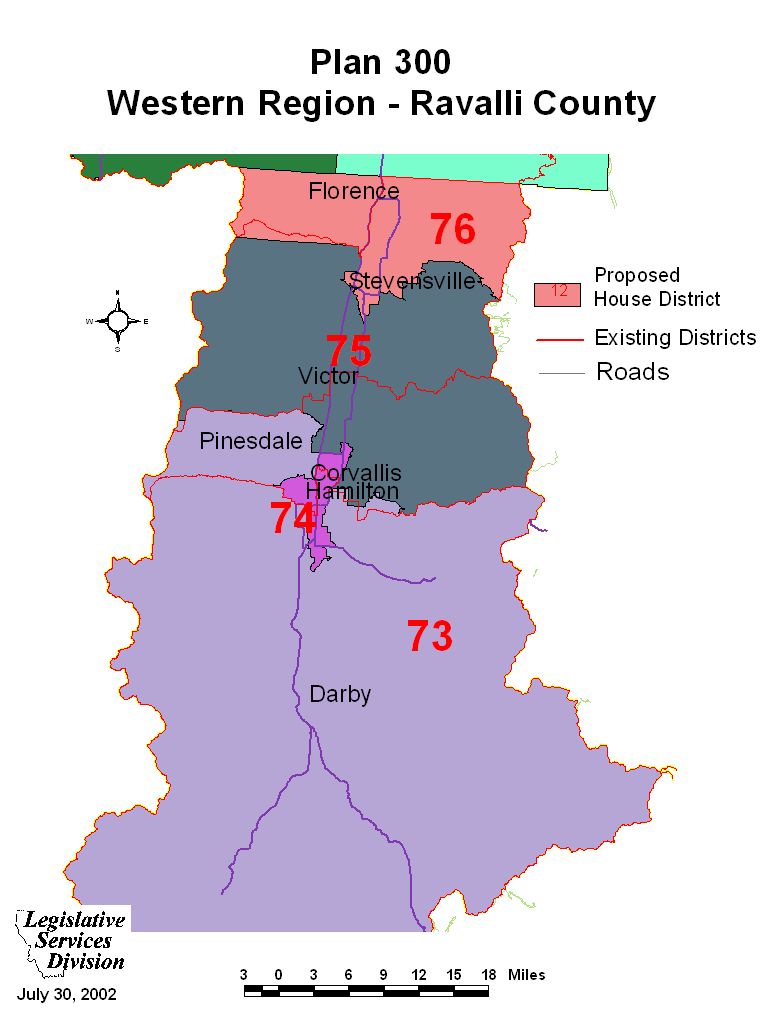
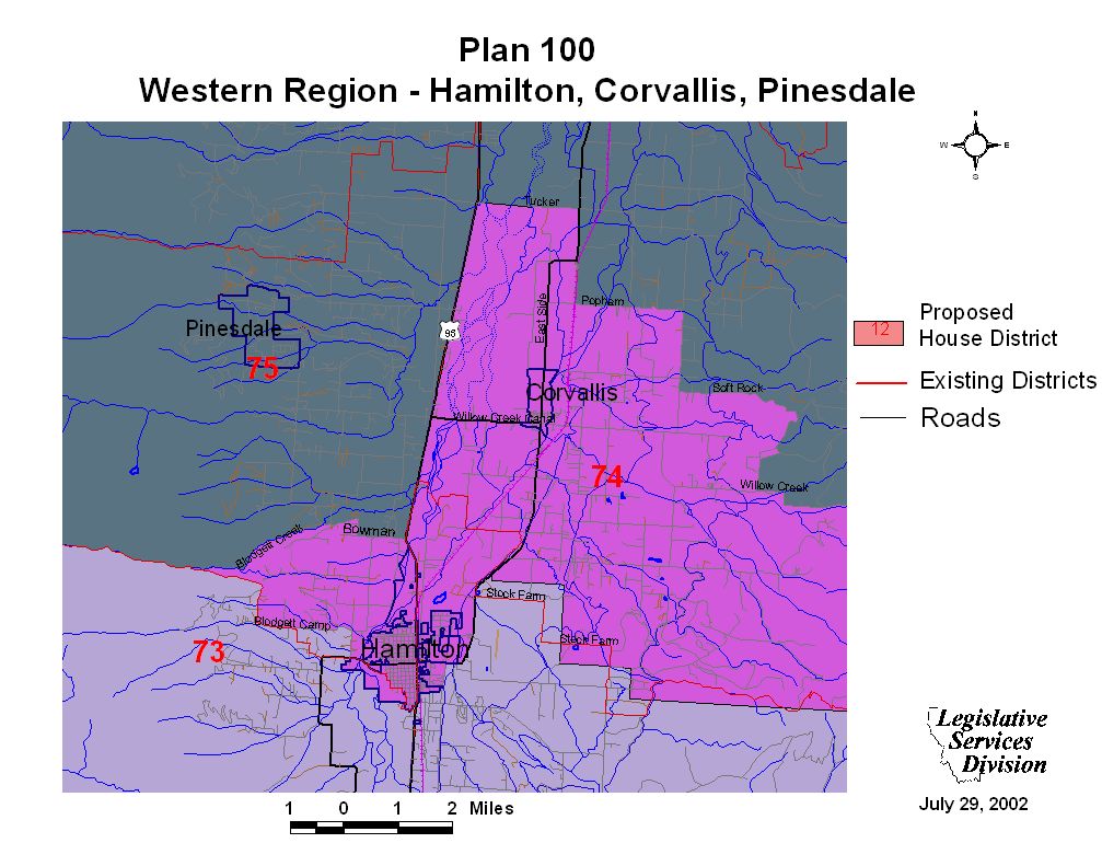
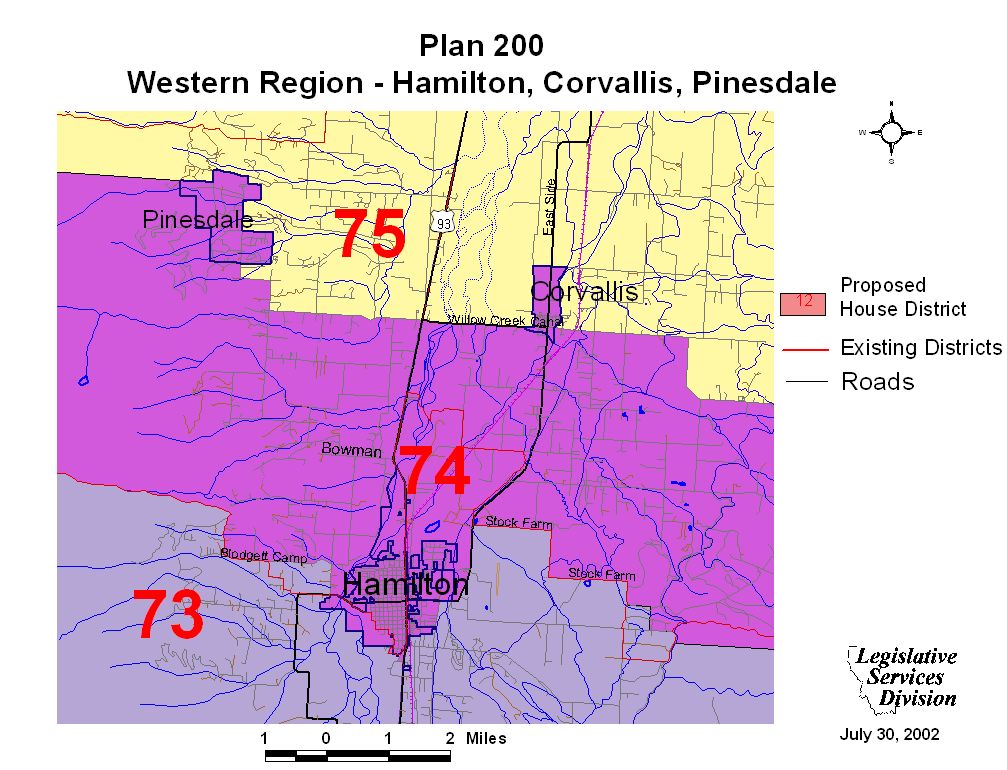
Western Region Maps and Plan Overview
Western Region Maps
North illustrates Lincoln, Sanders, Flathead, Glacier, Pondera, and Lake Counties.
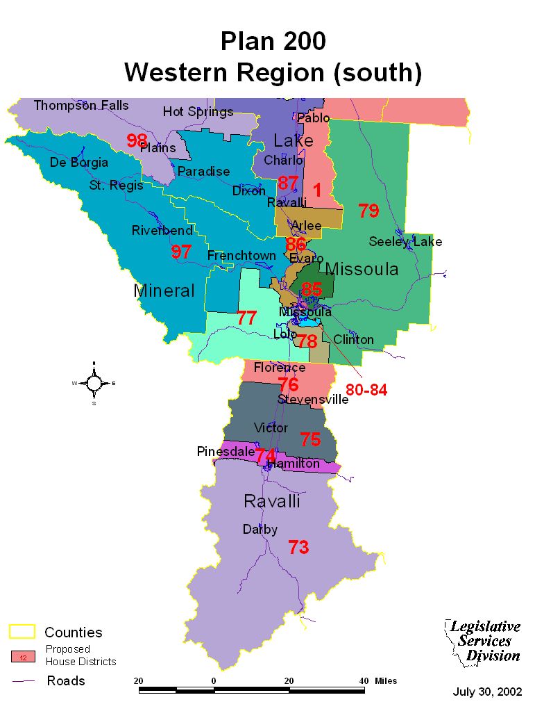
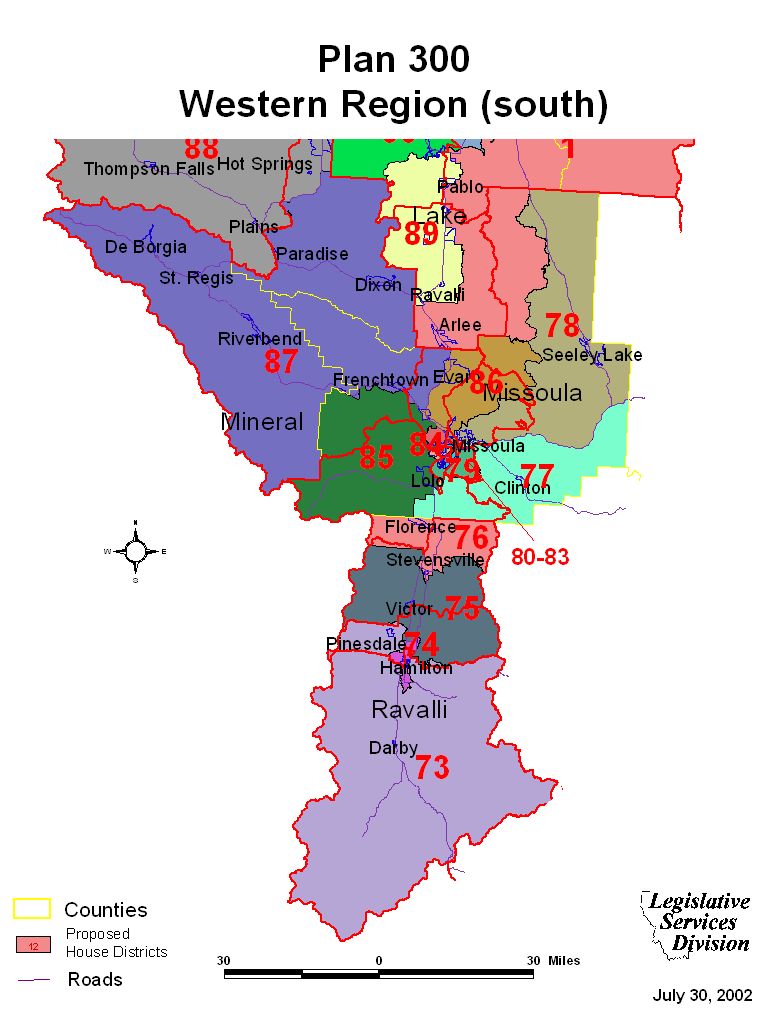
South illustrates Mineral, Missoula, and Ravalli Counties.
- Plan 100 (north)
- Plan 100 (south)
- Plan 200 (north)
- Plan 200 (south)
- Plan 300 (north)
- Plan 300 (south)
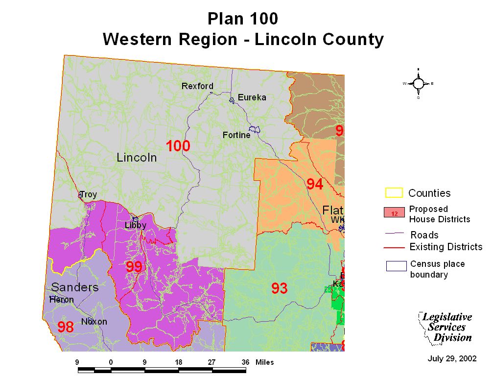
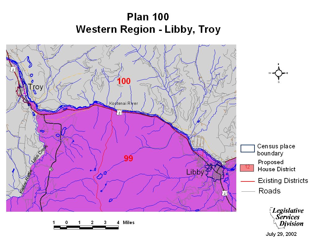
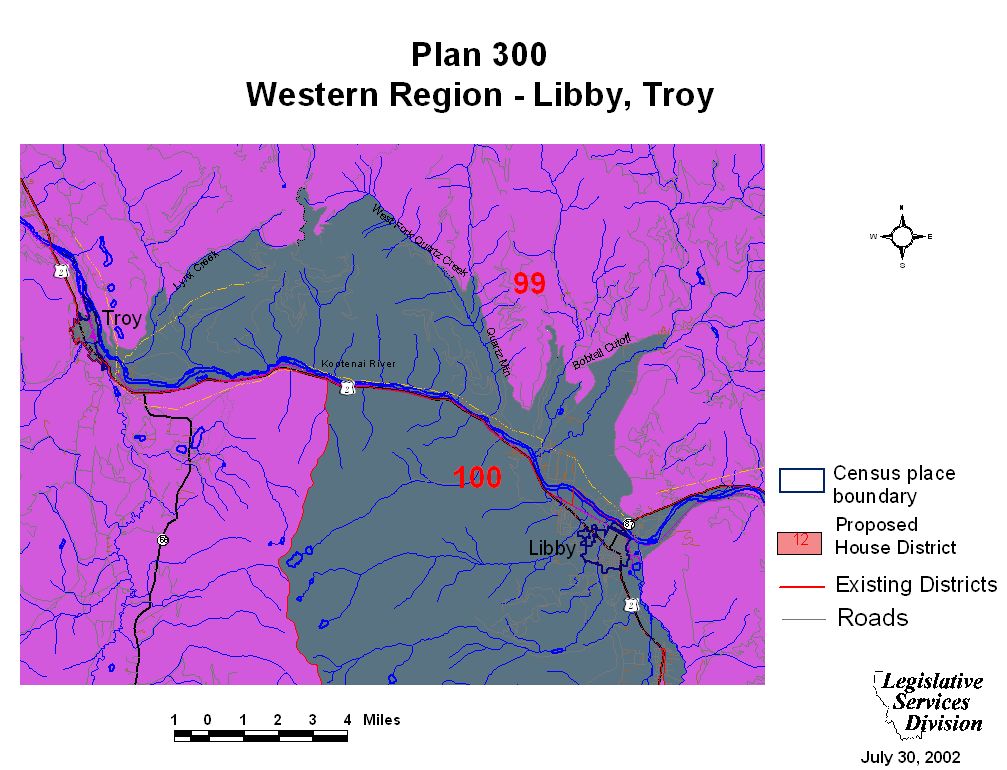
Lincoln County and Libby Maps
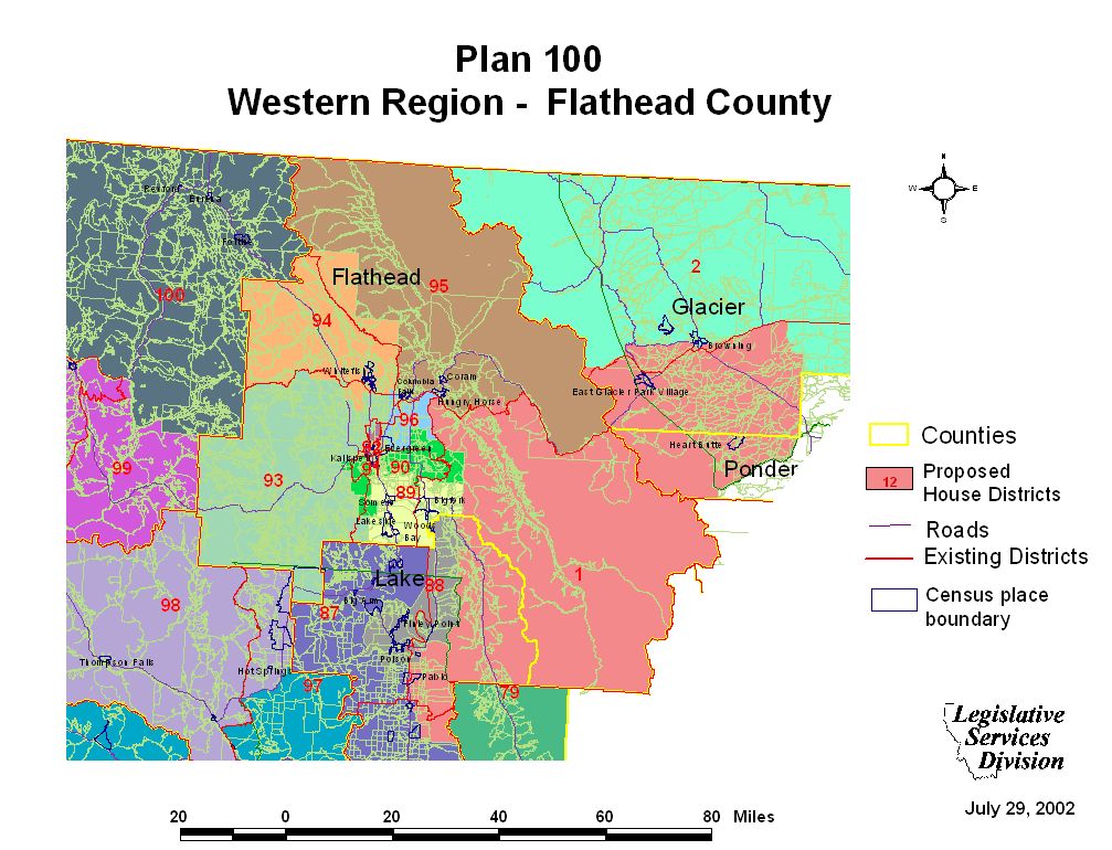
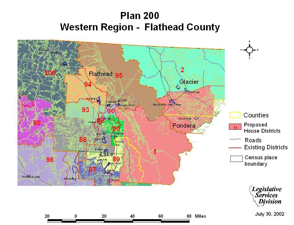
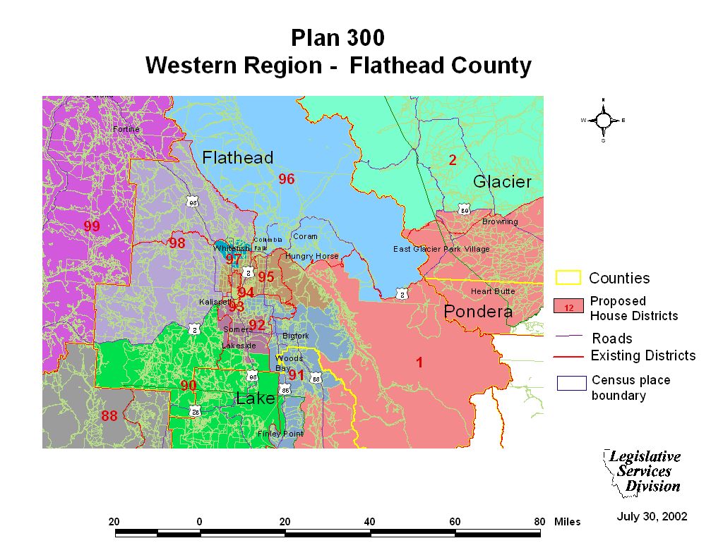
Flathead County Maps
Kalispell Maps
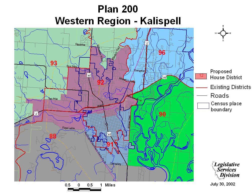
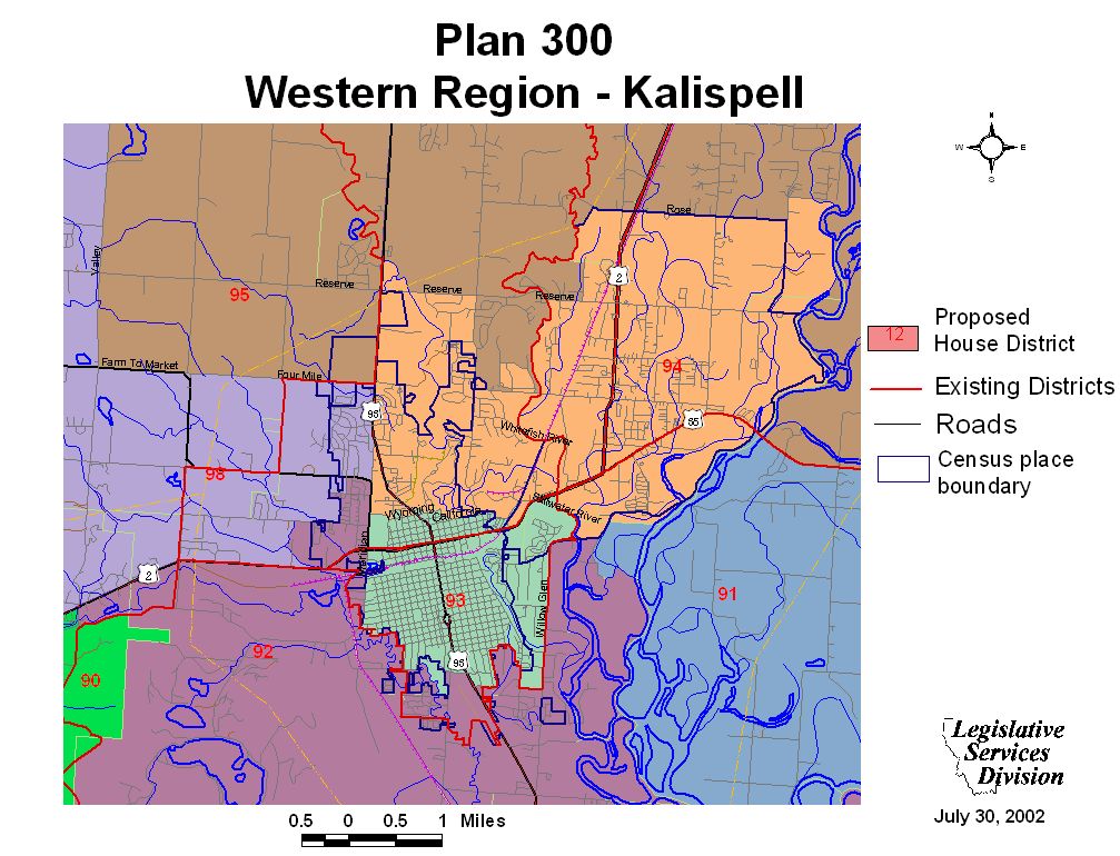
Lake County Maps
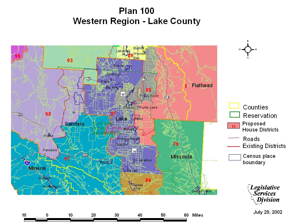
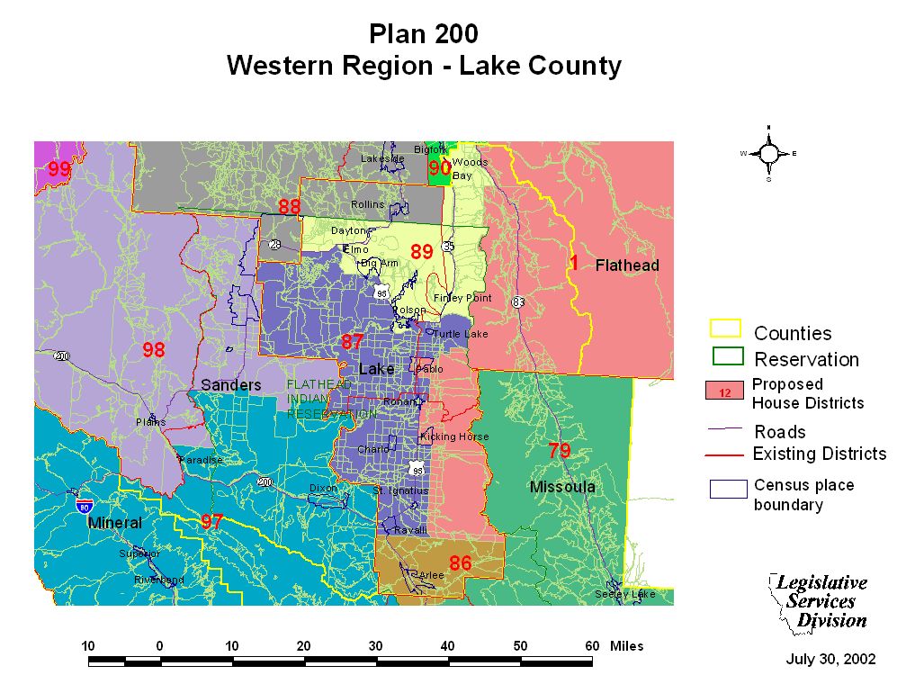
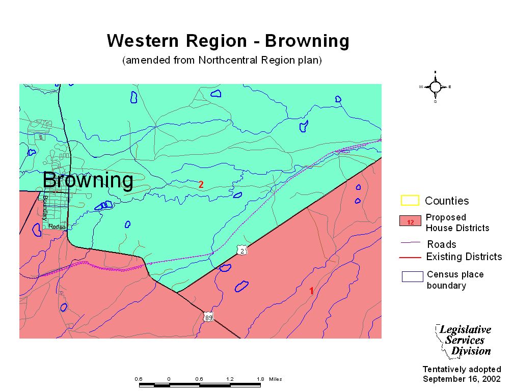
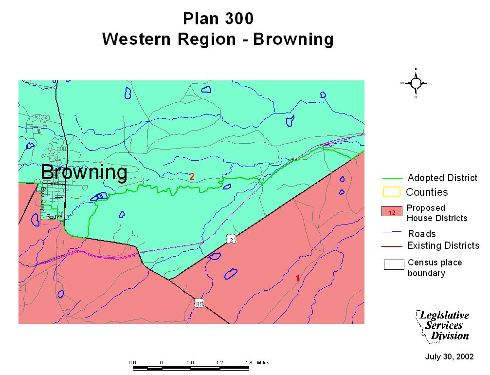
Browning Maps
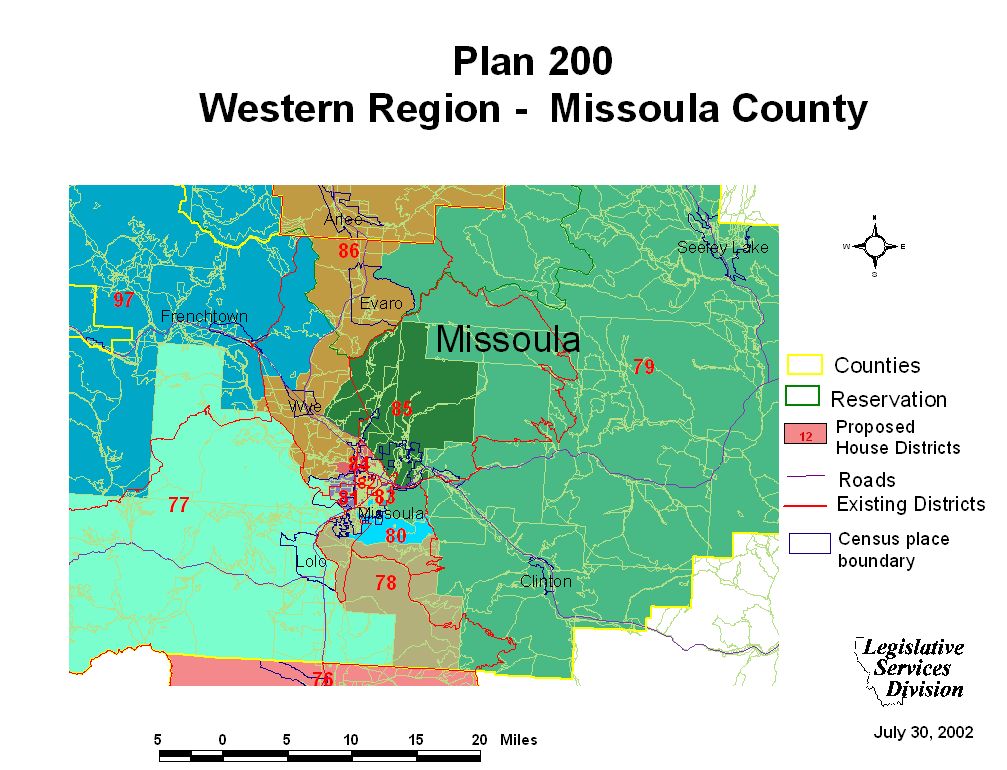
Missoula County Maps
Missoula City Maps
Ravalli County Maps
Hamilton Maps